UN/LOCODE hub · United Kingdom
GBMNC
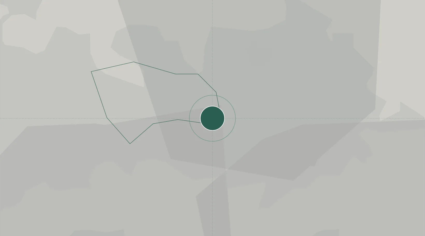
Manchester
53.4611°, -2.3111°
568,996
Population
2
Transport functions
Transport Functions
Port
Airport
Hub Profile
Place type
Provincial seat
Region
England
Population
568,996
Time zone
Europe/London
Elevation
51 m
Logistics facilities
9
Location
Nearby Logistics Neighbours
Cities
- 1Trafford Park2 km
- 2Manchester Ship Canal, Salford3 km
- 3Eccles3 km
- 4Salford4 km
- 5Swinton5 km
Airports
- 1Manchester Airport13 km
- 2Liverpool John Lennon Airport38 km
- 3Warton Aerodrome49 km
- 4Hawarden Airport54 km
- 5Blackpool Airport59 km
Trade Zones
DatabookThe Record of Consolidated Knowledge
United Kingdom beyond logistics?