Transport Functions
Port
Hub Profile
Place type
Populated place
Region
England
Population
37,275
Time zone
Europe/London
Elevation
32 m
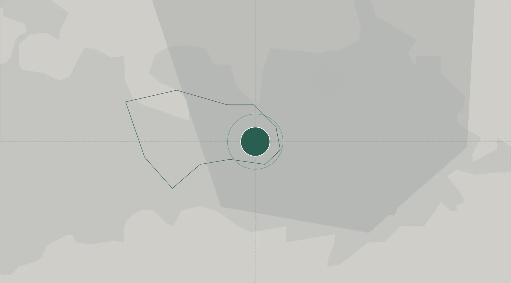
Location
Nearby Logistics Neighbours
Cities
- 1Manchester Ship Canal, Salford1 km
- 2Trafford Park2 km
- 3Swinton2 km
- 4Manchester3 km
- 5Salford4 km
Ports
- 1Manchester4 km
- 2Garlston40 km
- 3Liverpool45 km
- 4Mostyn65 km
- 5Fleetwood66 km
Airports
- 1Manchester Airport15 km
- 2Liverpool John Lennon Airport38 km
- 3Warton Aerodrome47 km
- 4Hawarden Airport55 km
- 5Blackpool Airport56 km
Trade Zones
DatabookThe Record of Consolidated Knowledge
United Kingdom beyond logistics?