UN/LOCODE hub · United Kingdom
GBMSC

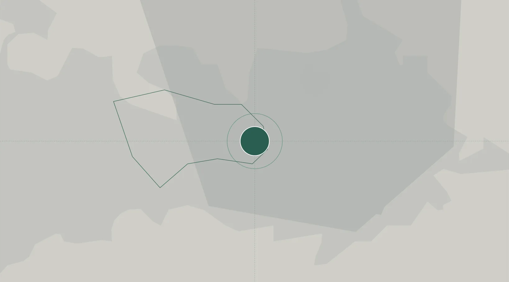
Manchester Ship Canal, Salford

53.4833°, -2.3167°
3
Transport functions

Transport Functions

Port
Rail
Road
UN/LOCODE

Hub Profile

Region
MAN
GeoNames

Location

Location of GBMSC
Natural Earth 10m (public domain) · MAN · GBMSC · 53.48, -2.32GoogleOSMYandex

Nearby Logistics Neighbours

Cities
  1. 1Eccles1 km
  2. 2Trafford Park2 km
  3. 3Manchester3 km
  4. 4Swinton3 km
  5. 5Salford3 km
Nearest neighbours — logibook spatial index (haversine) over the source coordinates
Ports
  1. 1Manchester3 km
  2. 2Garlston41 km
  3. 3Liverpool46 km
  4. 4Mostyn66 km
  5. 5Fleetwood67 km
Nearest neighbours — logibook spatial index (haversine) over the source coordinates
Airports
  1. 1Manchester Airport15 km
  2. 2Liverpool John Lennon Airport39 km
  3. 3Warton Aerodrome47 km
  4. 4Hawarden Airport56 km
  5. 5Blackpool Airport57 km
Nearest neighbours — logibook spatial index (haversine) over the source coordinates
Trade Zones
  1. 1Oxford Road Corridor Enterprise Zone6 km
  2. 2Manchester Airport City Enterprise Zone14 km
  3. 3Sci-Tech Daresbury Enterprise Zone27 km
  4. 4Liverpool Free Zone36 km
  5. 5Lancashire Enterprise Zone41 km
Nearest neighbours — logibook spatial index (haversine) over the source coordinates
DatabookThe Record of Consolidated Knowledge
United Kingdom beyond logistics?
Browse databook

All Sources

LocationsUN/LOCODE
UN/LOCODE — free
Portsthe NGA World Port Index
Public domain (US gov)
AirportsOurAirports
Public domain
Trade Zonesthe World Bank SEZ database
CC BY 4.0
Trade ZonesOpen Zone Map
CC BY
← United Kingdom locations