UN/LOCODE hub · United Kingdom
GBTFK
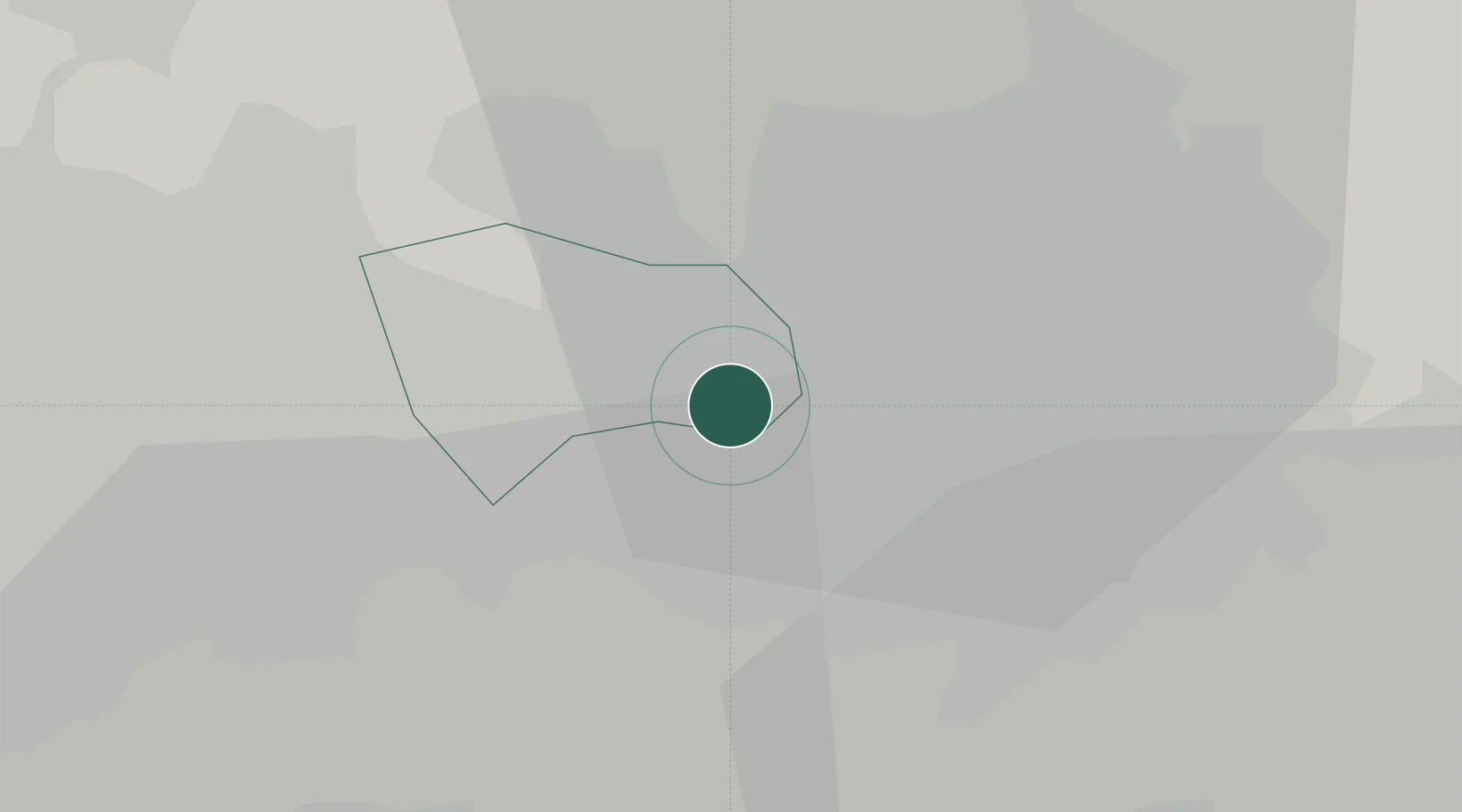
Trafford Park
53.4667°, -2.3333°
3,060
Population
2
Transport functions
Transport Functions
Road
Multimodal
Hub Profile
Place type
Populated place
Region
England
Population
3,060
Time zone
Europe/London
Elevation
28 m
Location
Nearby Logistics Neighbours
Cities
- 1Manchester2 km
- 2Eccles2 km
- 3Manchester Ship Canal, Salford2 km
- 4Swinton4 km
- 5Salford5 km
Ports
- 1Manchester5 km
- 2Garlston40 km
- 3Liverpool45 km
- 4Mostyn64 km
- 5Fleetwood67 km
Airports
- 1Manchester Airport14 km
- 2Liverpool John Lennon Airport37 km
- 3Warton Aerodrome48 km
- 4Hawarden Airport54 km
- 5Blackpool Airport57 km
Trade Zones
DatabookThe Record of Consolidated Knowledge
United Kingdom beyond logistics?