UN/LOCODE hub · United Kingdom
GBMAN

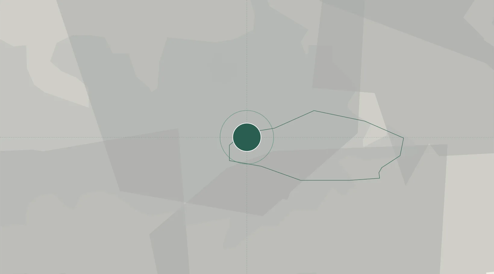
Manchester Container Terminal

53.4702°, -2.2002°
1
Transport functions

Transport Functions

Multimodal
UN/LOCODE

Hub Profile

Logistics facilities
1
UN/LOCODE

Location

Location of GBMAN
Natural Earth 10m (public domain) · Tameside · GBMAN · 53.47, -2.20GoogleOSMYandex

Nearby Logistics Neighbours

Cities
  1. 1Longsight0 km
  2. 2Ardwick0 km
  3. 3Foolow1 km
  4. 4Clayton1 km
  5. 5Clayton2 km
Nearest neighbours — logibook spatial index (haversine) over the source coordinates
Ports
  1. 1Manchester5 km
  2. 2Garlston48 km
  3. 3Liverpool53 km
  4. 4Mostyn73 km
  5. 5Fleetwood73 km
Nearest neighbours — logibook spatial index (haversine) over the source coordinates
Airports
  1. 1Manchester Airport14 km
  2. 2Liverpool John Lennon Airport46 km
  3. 3Warton Aerodrome54 km
  4. 4Leeds Bradford Airport57 km
  5. 5Hawarden Airport61 km
Nearest neighbours — logibook spatial index (haversine) over the source coordinates
Trade Zones
  1. 1Oxford Road Corridor Enterprise Zone2 km
  2. 2Manchester Airport City Enterprise Zone13 km
  3. 3Sci-Tech Daresbury Enterprise Zone32 km
  4. 4Liverpool Free Zone44 km
  5. 5Lancashire Enterprise Zone48 km
Nearest neighbours — logibook spatial index (haversine) over the source coordinates
DatabookThe Record of Consolidated Knowledge
United Kingdom beyond logistics?
Browse databook

All Sources

LocationsUN/LOCODE
UN/LOCODE — free
Portsthe NGA World Port Index
Public domain (US gov)
AirportsOurAirports
Public domain
Trade Zonesthe World Bank SEZ database
CC BY 4.0
Trade ZonesOpen Zone Map
CC BY
← United Kingdom locations