UN/LOCODE hub · United Kingdom
GBSCN

Scarinish, Tiree

56.5167°, -6.8167°
2
Transport functions

Transport Functions

Port
Road
UN/LOCODE

Hub Profile

Region
AGB
GeoNames

Location

Location of GBSCN
Natural Earth 10m (public domain) · AGB · GBSCN · 56.52, -6.82GoogleOSMYandex

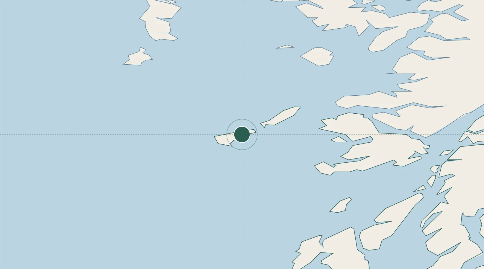
Nearby Logistics Neighbours

Cities
  1. 1Arinagour21 km
  2. 2Coll22 km
  3. 3Baile Mor, Iona33 km
  4. 4Fionnphort, Isle of Mull36 km
  5. 5Ulva Ferry42 km
Nearest neighbours — logibook spatial index (haversine) over the source coordinates
Ports
  1. 1Tobermory47 km
  2. 2Castle Bay63 km
  3. 3Lochaline65 km
  4. 4Craignure69 km
  5. 5Lochboisdale76 km
Nearest neighbours — logibook spatial index (haversine) over the source coordinates
Airports
  1. 1Tiree Airport4 km
  2. 2Coll Airport15 km
  3. 3Colonsay Airstrip62 km
  4. 4Barra Airport68 km
  5. 5Oban Airport87 km
Nearest neighbours — logibook spatial index (haversine) over the source coordinates
Trade Zones
  1. 1Prestwick Airport Free Zone177 km
  2. 2Carlisle Kingmoor Park Enterprise Zone299 km
  3. 3Isle of Man Free Zone and Business Park303 km
  4. 4Dublin International Financial Services Centre354 km
  5. 5Blackpool Enterprise Zone388 km
Nearest neighbours — logibook spatial index (haversine) over the source coordinates
DatabookThe Record of Consolidated Knowledge
United Kingdom beyond logistics?
Browse databook

All Sources

LocationsUN/LOCODE
UN/LOCODE — free
Portsthe NGA World Port Index
Public domain (US gov)
AirportsOurAirports
Public domain
Trade Zonesthe World Bank SEZ database
CC BY 4.0
Trade ZonesOpen Zone Map
CC BY
← United Kingdom locations