UN/LOCODE hub · United Kingdom
GBAGO

Arinagour

56.6167°, -6.5333°
2
Transport functions

Transport Functions

Port
Road
UN/LOCODE

Hub Profile

Place type
Populated place
GeoNames
Region
Scotland
GeoNames
Time zone
Europe/London
GeoNames
Elevation
11 m
GeoNames

Location

Location of GBAGO
Natural Earth 10m (public domain) · Scotland · GBAGO · 56.62, -6.53GoogleOSMYandex

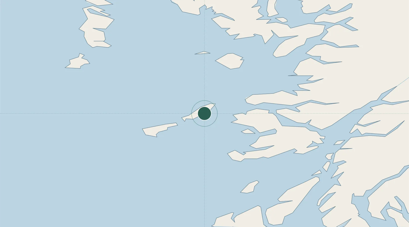
Nearby Logistics Neighbours

Cities
  1. 1Coll1 km
  2. 2Scarinish, Tiree21 km
  3. 3Tobermory28 km
  4. 4Kilchoan28 km
  5. 5Ardnamurchan29 km
Nearest neighbours — logibook spatial index (haversine) over the source coordinates
Ports
  1. 1Tobermory29 km
  2. 2Lochaline48 km
  3. 3Craignure54 km
  4. 4Mallaig61 km
  5. 5Glensanda62 km
Nearest neighbours — logibook spatial index (haversine) over the source coordinates
Airports
  1. 1Coll Airport5 km
  2. 2Tiree Airport24 km
  3. 3Colonsay Airstrip65 km
  4. 4Barra Airport71 km
  5. 5Oban Airport72 km
Nearest neighbours — logibook spatial index (haversine) over the source coordinates
Trade Zones
  1. 1Prestwick Airport Free Zone171 km
  2. 2Carlisle Kingmoor Park Enterprise Zone291 km
  3. 3Isle of Man Free Zone and Business Park306 km
  4. 4Dublin International Financial Services Centre364 km
  5. 5Blackpool Enterprise Zone386 km
Nearest neighbours — logibook spatial index (haversine) over the source coordinates
DatabookThe Record of Consolidated Knowledge
United Kingdom beyond logistics?
Browse databook

All Sources

LocationsUN/LOCODE
UN/LOCODE — free
Portsthe NGA World Port Index
Public domain (US gov)
AirportsOurAirports
Public domain
Trade Zonesthe World Bank SEZ database
CC BY 4.0
Trade ZonesOpen Zone Map
CC BY
← United Kingdom locations