UN/LOCODE hub · United Kingdom
GBNHM
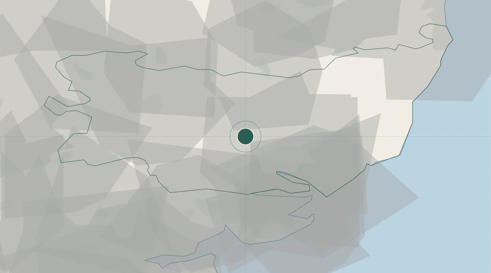
Needham Market
52.1500°, 1.0500°
4,528
Population
2
Transport functions
Transport Functions
Rail
Road
Hub Profile
Place type
Populated place
Region
England
Population
4,528
Time zone
Europe/London
Elevation
25 m
Location
Nearby Logistics Neighbours
Cities
- 1Ashbocking8 km
- 2Wetheringsett12 km
- 3Elmswell14 km
- 4Kesgrave16 km
- 5Lavenham18 km
Ports
- 1Ipswich14 km
- 2Harwich27 km
- 3Felixstowe29 km
- 4Colchester31 km
- 5Lowestoft60 km
Airports
- 1Wattisham Airfield7 km
- 2RAF Honington29 km
- 3RAF Lakenheath44 km
- 4RAF Mildenhall45 km
- 5Cambridge City Airport60 km
Trade Zones
DatabookThe Record of Consolidated Knowledge
United Kingdom beyond logistics?