Transport Functions
Road
Multimodal
Hub Profile
Place type
Populated place
Region
England
Population
356
Time zone
Europe/London
Elevation
67 m
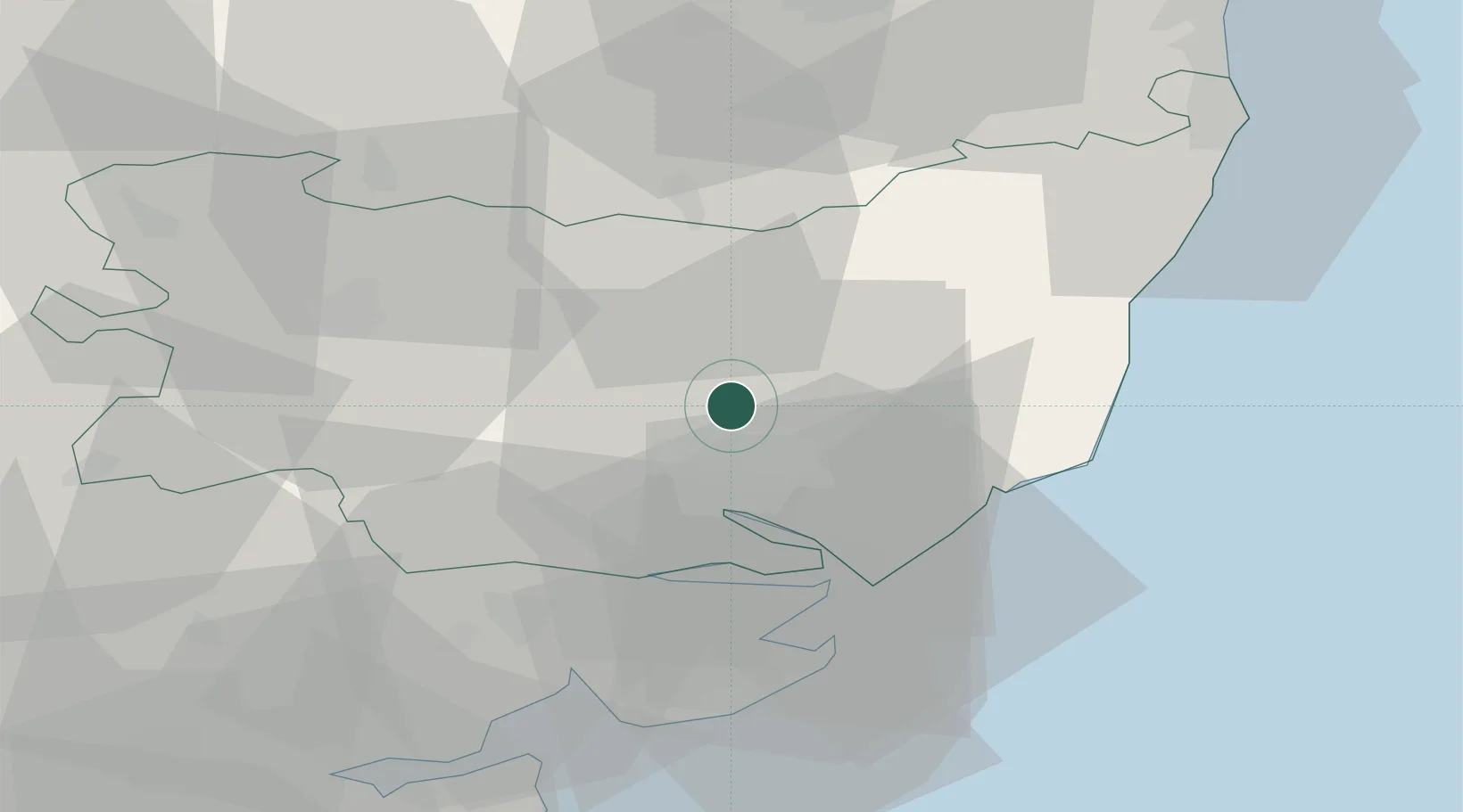
Location
Nearby Logistics Neighbours
Cities
- 1Needham Market8 km
- 2Kesgrave10 km
- 3Wetheringsett12 km
- 4Marlesford16 km
- 5Rendlesham16 km
Ports
- 1Ipswich11 km
- 2Harwich24 km
- 3Felixstowe25 km
- 4Colchester34 km
- 5Lowestoft54 km
Airports
- 1Wattisham Airfield15 km
- 2RAF Honington34 km
- 3RAF Lakenheath50 km
- 4RAF Mildenhall52 km
- 5Norwich Airport59 km
Trade Zones
DatabookThe Record of Consolidated Knowledge
United Kingdom beyond logistics?