UN/LOCODE hub · United Kingdom
GBKGA
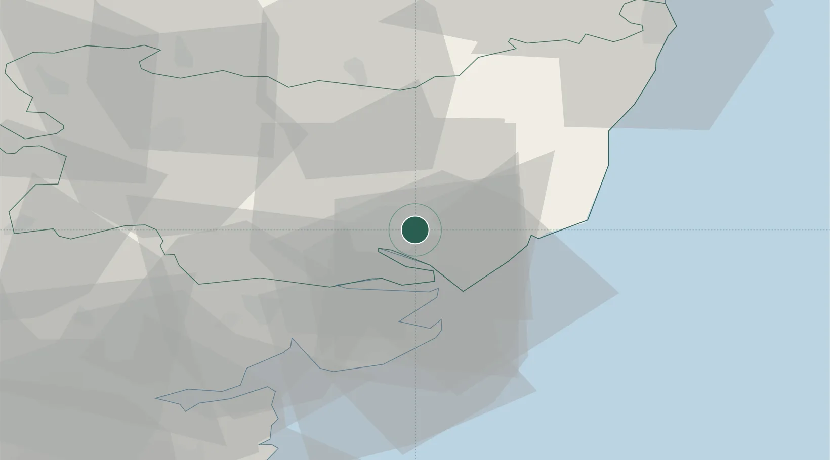
Kesgrave
52.0667°, 1.2333°
11,020
Population
2
Transport functions
Transport Functions
Road
Multimodal
Hub Profile
Place type
Populated place
Region
England
Population
11,020
Time zone
Europe/London
Elevation
35 m
Location
Nearby Logistics Neighbours
Cities
- 1Levington8 km
- 2Ashbocking10 km
- 3Rendlesham13 km
- 4Felixstowe13 km
- 5Dovercourt16 km
Ports
- 1Ipswich5 km
- 2Harwich13 km
- 3Felixstowe14 km
- 4Colchester30 km
- 5Lowestoft58 km
Airports
- 1Wattisham Airfield20 km
- 2RAF Honington44 km
- 3RAF Lakenheath60 km
- 4RAF Mildenhall61 km
- 5London Southend Airport67 km
Trade Zones
DatabookThe Record of Consolidated Knowledge
United Kingdom beyond logistics?