Transport Functions
Port
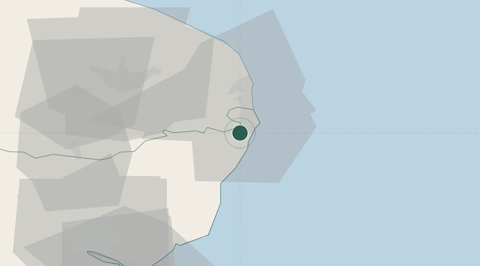
Hub Profile
Place type
Populated place
Region
England
Time zone
Europe/London
Elevation
14 m
Location
Nearby Logistics Neighbours
Cities
- 1North Cove3 km
- 2Oulton Broad4 km
- 3Reedham14 km
- 4Fressingfield18 km
- 5Cantley20 km
Ports
- 1Lowestoft5 km
- 2Great Yarmouth19 km
- 3Ipswich57 km
- 4Felixstowe61 km
- 5Harwich62 km
Airports
- 1Norwich Airport38 km
- 2Wattisham Airfield62 km
- 3RAF Honington64 km
- 4RAF Lakenheath77 km
- 5RAF Marham81 km
Trade Zones
DatabookThe Record of Consolidated Knowledge
United Kingdom beyond logistics?