Transport Functions
Port
Multimodal
Hub Profile
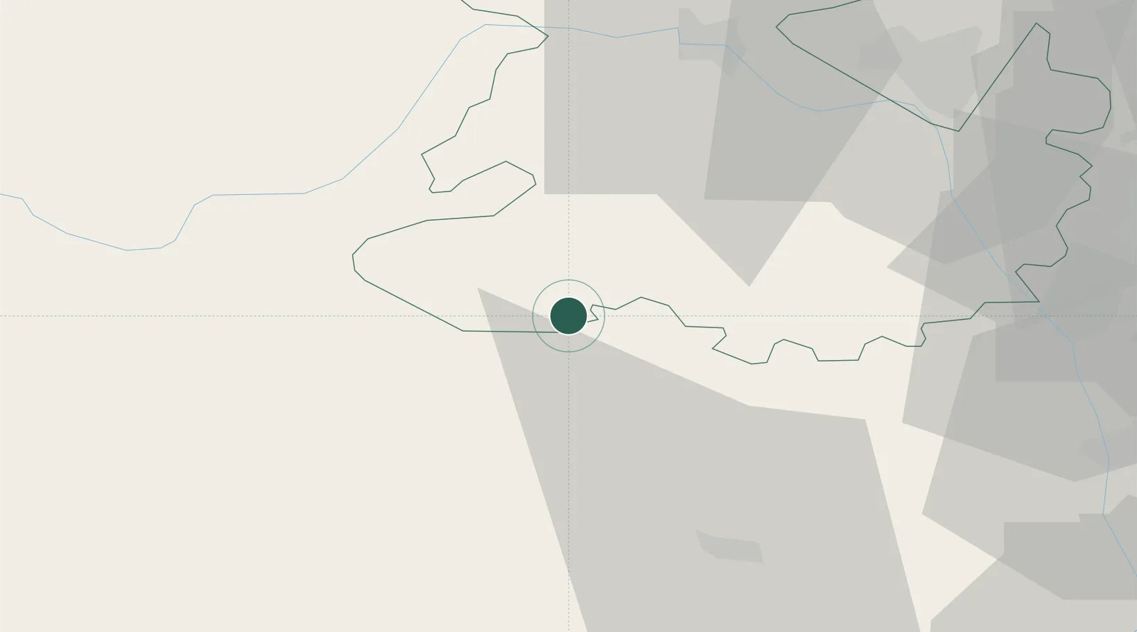
Place type
Populated place
Region
England
Time zone
Europe/London
Elevation
151 m
Location
Nearby Logistics Neighbours
Cities
- 1Little Brampton6 km
- 2Clunbury6 km
- 3Shobdon14 km
- 4Bishops Castle16 km
- 5Pembridge17 km
Airports
- 1RAF Shawbury51 km
- 2RAF Cosford52 km
- 3Gloucestershire Airport74 km
- 4Birmingham Airport81 km
- 5Hawarden Airport90 km
Trade Zones
DatabookThe Record of Consolidated Knowledge
United Kingdom beyond logistics?