Transport Functions
Port
Hub Profile
Place type
Populated place
Region
England
Time zone
Europe/London
Elevation
7 m
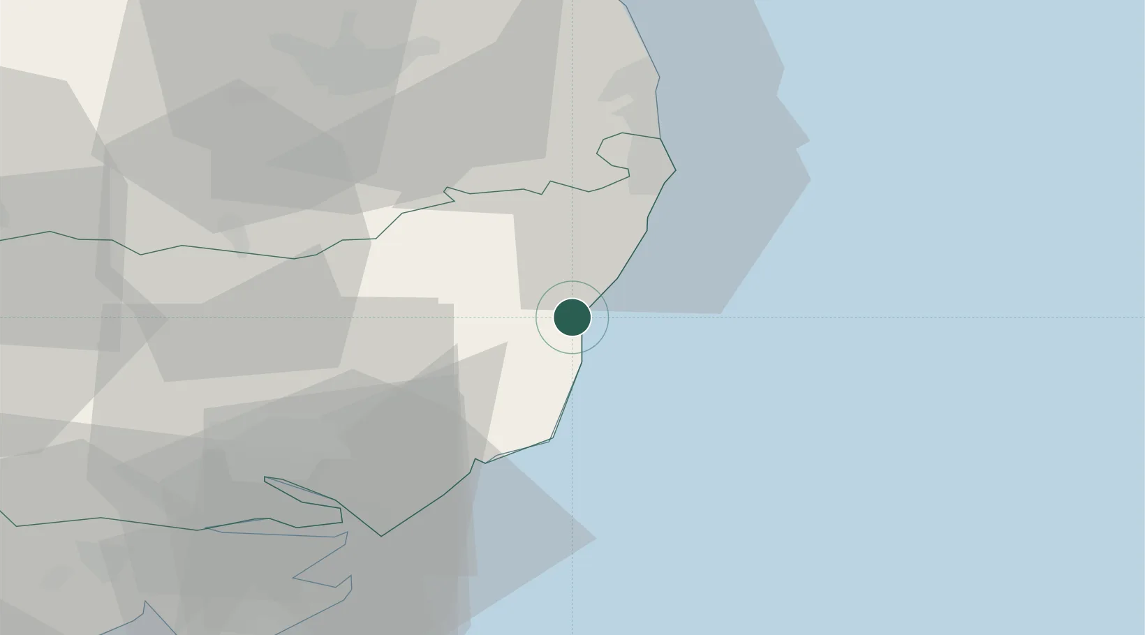
Location
Nearby Logistics Neighbours
Cities
- 1Darsham6 km
- 2Sizewell Beach7 km
- 3Thorpeness11 km
- 4Cookley13 km
- 5Aldeburgh13 km
Ports
- 1Lowestoft26 km
- 2Ipswich39 km
- 3Great Yarmouth40 km
- 4Felixstowe41 km
- 5Harwich42 km
Airports
- 1Wattisham Airfield48 km
- 2Norwich Airport51 km
- 3RAF Honington58 km
- 4RAF Lakenheath73 km
- 5RAF Mildenhall78 km
Trade Zones
DatabookThe Record of Consolidated Knowledge
United Kingdom beyond logistics?