Transport Functions
Port
Hub Profile
Region
SFK
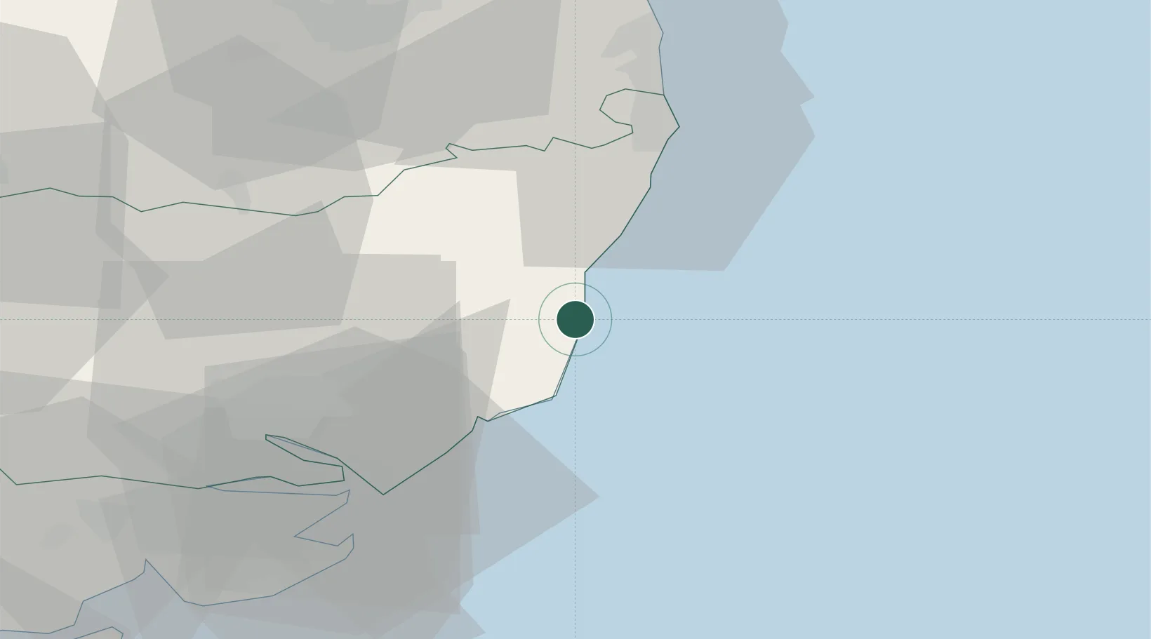
Location
Nearby Logistics Neighbours
Cities
- 1Thorpeness4 km
- 2Aldeburgh6 km
- 3Dunwich7 km
- 4Darsham9 km
- 5Snape Bridge10 km
Ports
- 1Lowestoft33 km
- 2Felixstowe35 km
- 3Ipswich35 km
- 4Harwich36 km
- 5Great Yarmouth47 km
Airports
- 1Wattisham Airfield46 km
- 2Norwich Airport58 km
- 3RAF Honington60 km
- 4RAF Lakenheath76 km
- 5RAF Mildenhall79 km
Trade Zones
DatabookThe Record of Consolidated Knowledge
United Kingdom beyond logistics?