Transport Functions
Port
Road
Hub Profile
Place type
Populated place
Region
England
Population
1,413
Time zone
Europe/London
Elevation
66 m
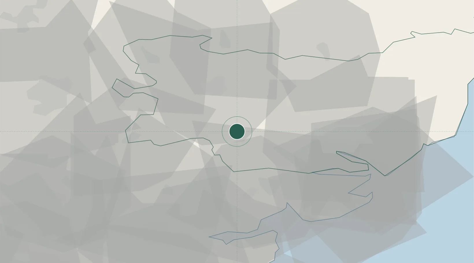
Location
Nearby Logistics Neighbours
Cities
- 1Stanstead8 km
- 2Elmswell16 km
- 3Needham Market18 km
- 4Pitsea19 km
- 5Castle Hedingham19 km
Ports
- 1Colchester25 km
- 2Ipswich26 km
- 3Harwich37 km
- 4Felixstowe39 km
- 5Sheerness72 km
Airports
- 1Wattisham Airfield11 km
- 2RAF Honington27 km
- 3RAF Mildenhall36 km
- 4RAF Lakenheath38 km
- 5Cambridge City Airport44 km
Trade Zones
DatabookThe Record of Consolidated Knowledge
United Kingdom beyond logistics?