UN/LOCODE hub · United Kingdom
GBNHF
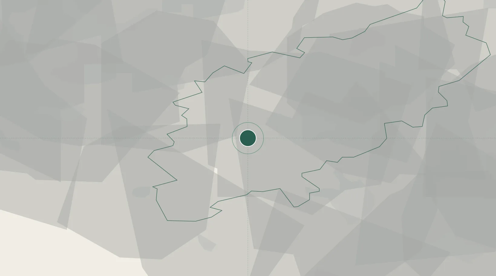
Nether Heyford
52.2167°, -1.0333°
1,637
Population
2
Transport functions
Transport Functions
Road
Multimodal
Hub Profile
Place type
Populated place
Region
England
Population
1,637
Time zone
Europe/London
Elevation
79 m
Location
Nearby Logistics Neighbours
Cities
- 1Watford11 km
- 2Wootton11 km
- 3Brackmills11 km
- 4Chipperfield17 km
- 5Napton on the Hill20 km
Ports
- 1Wisbech95 km
- 2London103 km
- 3Boston108 km
- 4King's Lynn114 km
- 5Sharpness114 km
Airports
- 1Cranfield Airport33 km
- 2Coventry Airport35 km
- 3London Oxford Airport47 km
- 4Birmingham Airport55 km
- 5RAF Wittering58 km
Trade Zones
DatabookThe Record of Consolidated Knowledge
United Kingdom beyond logistics?