Transport Functions
Multimodal
Hub Profile
Place type
Populated place
Region
England
Time zone
Europe/London
Elevation
139 m
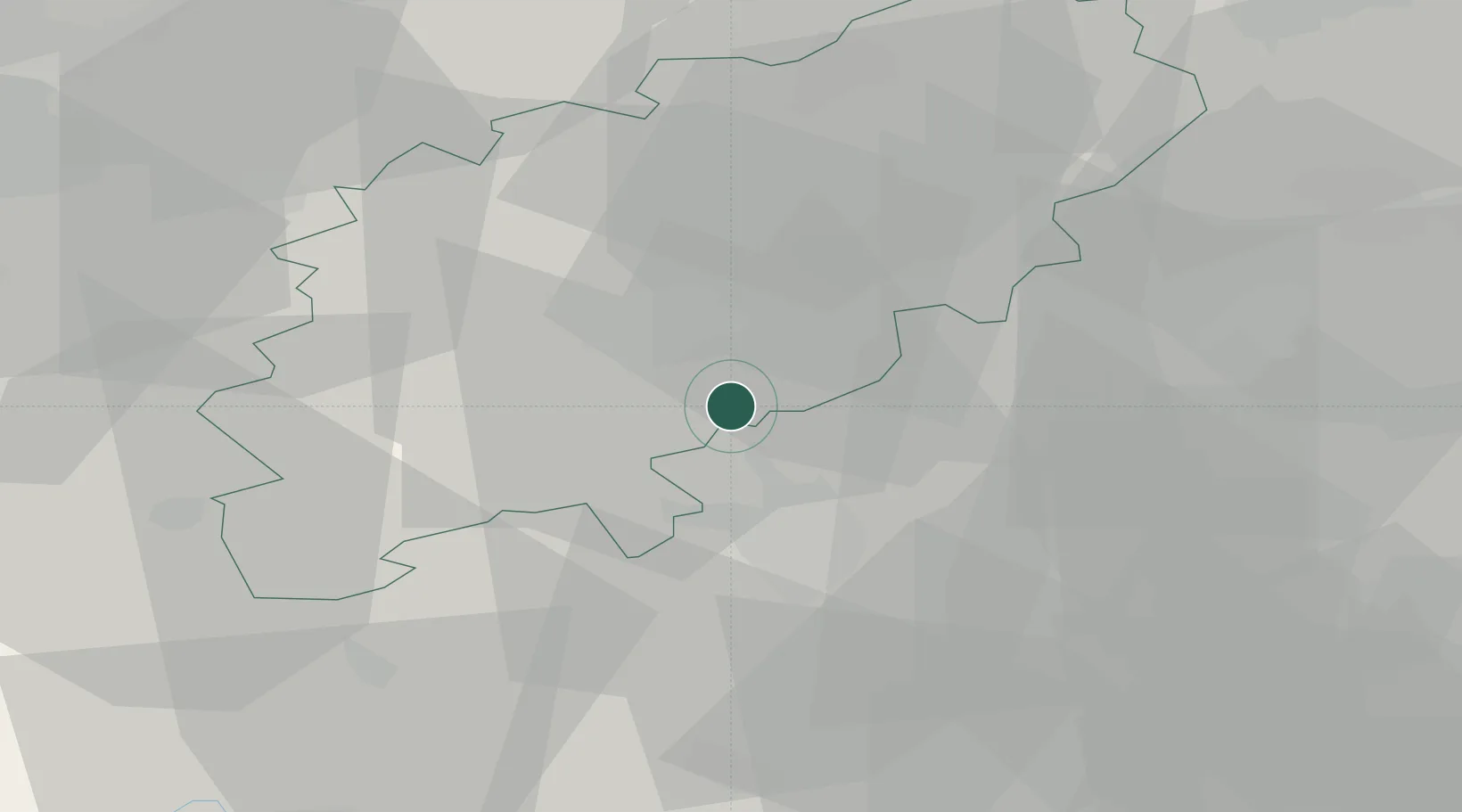
Location
Nearby Logistics Neighbours
Cities
- 1Wootton6 km
- 2Brackmills7 km
- 3Nether Heyford17 km
- 4Pavenham17 km
- 5Marston Moretaine21 km
Ports
- 1Wisbech85 km
- 2London89 km
- 3Boston104 km
- 4King's Lynn104 km
- 5Tilbury110 km
Airports
- 1Cranfield Airport16 km
- 2London Luton Airport44 km
- 3London Oxford Airport51 km
- 4Coventry Airport52 km
- 5RAF Wittering54 km
Trade Zones
DatabookThe Record of Consolidated Knowledge
United Kingdom beyond logistics?