Transport Functions
Multimodal
Hub Profile
Place type
Populated place
Region
England
Time zone
Europe/London
Elevation
93 m
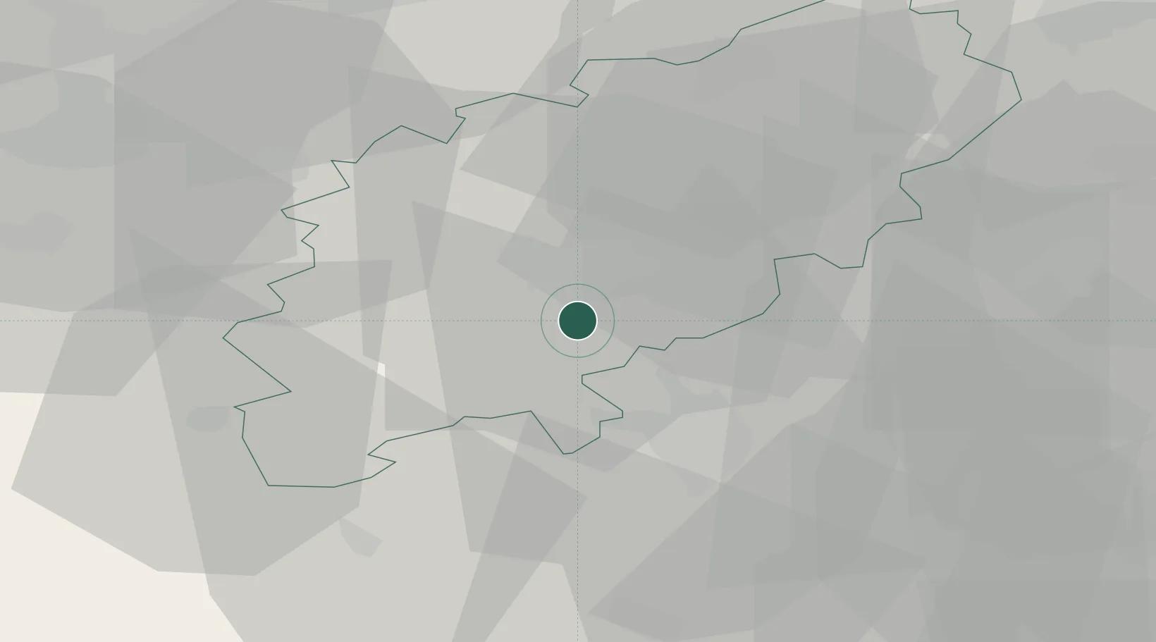
Location
Nearby Logistics Neighbours
Cities
- 1Brackmills4 km
- 2Chipperfield6 km
- 3Nether Heyford11 km
- 4Watford21 km
- 5Pavenham23 km
Ports
- 1Wisbech88 km
- 2London94 km
- 3Boston105 km
- 4King's Lynn107 km
- 5Tilbury116 km
Airports
- 1Cranfield Airport22 km
- 2Coventry Airport46 km
- 3London Oxford Airport49 km
- 4London Luton Airport49 km
- 5RAF Wittering55 km
DatabookThe Record of Consolidated Knowledge
United Kingdom beyond logistics?