Transport Functions
Port
Rail
Road
Hub Profile
Region
LAN
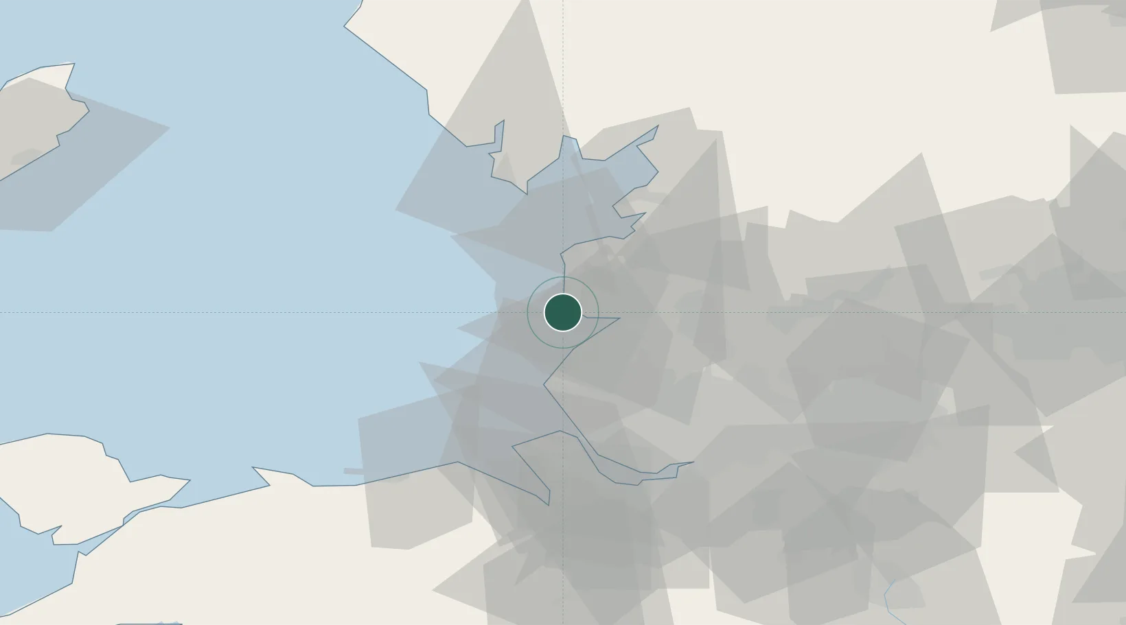
Location
Nearby Logistics Neighbours
Cities
- 1Southport12 km
- 2Birkdale13 km
- 3Holmeswood16 km
- 4Much Hoole17 km
- 5Audlem19 km
Ports
- 1Fleetwood19 km
- 2Heysham33 km
- 3Liverpool37 km
- 4Lancaster38 km
- 5Liverpool Bay Terminal41 km
Airports
- 1Blackpool Airport3 km
- 2Warton Aerodrome11 km
- 3Barrow Walney Island Airport44 km
- 4Liverpool John Lennon Airport48 km
- 5Hawarden Airport64 km
Trade Zones
DatabookThe Record of Consolidated Knowledge
United Kingdom beyond logistics?