UN/LOCODE hub · United Kingdom
GBXPB

Preston Brook

53.5167°, -3.0833°
1
Transport functions

Transport Functions

Multimodal
UN/LOCODE

Hub Profile

Place type
Urban district
GeoNames
Region
England
GeoNames
Time zone
Europe/London
GeoNames
Elevation
31 m
GeoNames

Location

Location of GBXPB
Natural Earth 10m (public domain) · England · GBXPB · 53.52, -3.08GoogleOSMYandex

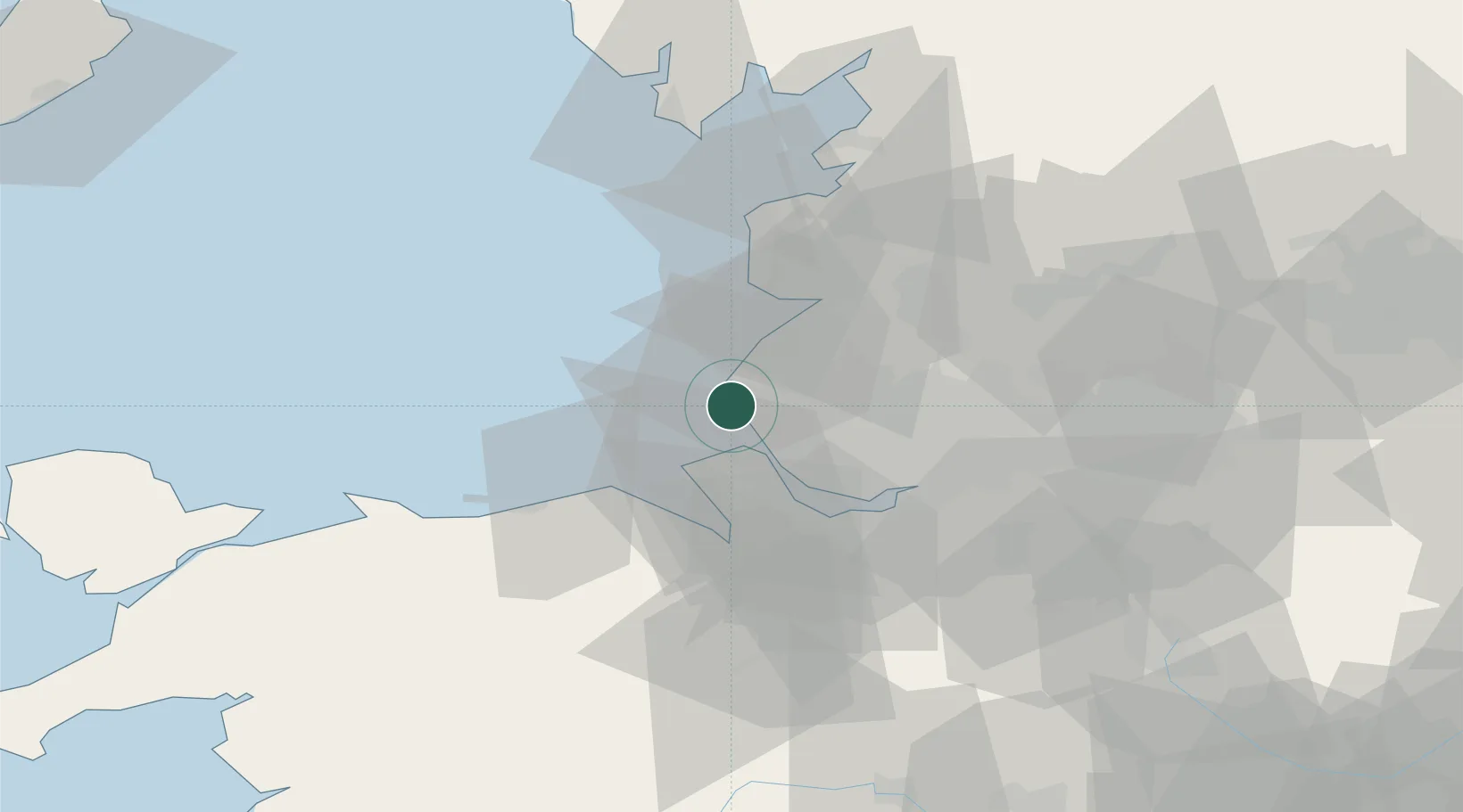
Nearby Logistics Neighbours

Cities
  1. 1Hightown2 km
  2. 2Formby4 km
  3. 3Seaforth7 km
  4. 4Moore Cheshire8 km
  5. 5Sefton8 km
Nearest neighbours — logibook spatial index (haversine) over the source coordinates
Ports
  1. 1Liverpool12 km
  2. 2Garlston22 km
  3. 3Mostyn25 km
  4. 4Liverpool Bay Terminal31 km
  5. 5Fleetwood45 km
Nearest neighbours — logibook spatial index (haversine) over the source coordinates
Airports
  1. 1Liverpool John Lennon Airport26 km
  2. 2Blackpool Airport29 km
  3. 3Warton Aerodrome29 km
  4. 4Hawarden Airport38 km
  5. 5Manchester Airport56 km
Nearest neighbours — logibook spatial index (haversine) over the source coordinates
Trade Zones
  1. 1Mersey Waters Enterprise Zone14 km
  2. 2Liverpool Free Zone16 km
  3. 3Blackpool Enterprise Zone29 km
  4. 4Hillhouse Enterprise Zone31 km
  5. 5Sci-Tech Daresbury Enterprise Zone35 km
Nearest neighbours — logibook spatial index (haversine) over the source coordinates
DatabookThe Record of Consolidated Knowledge
United Kingdom beyond logistics?
Browse databook

All Sources

LocationsUN/LOCODE
UN/LOCODE — free
Portsthe NGA World Port Index
Public domain (US gov)
AirportsOurAirports
Public domain
Trade Zonesthe World Bank SEZ database
CC BY 4.0
Trade ZonesOpen Zone Map
CC BY
← United Kingdom locations