UN/LOCODE hub · United Kingdom
GBHBP
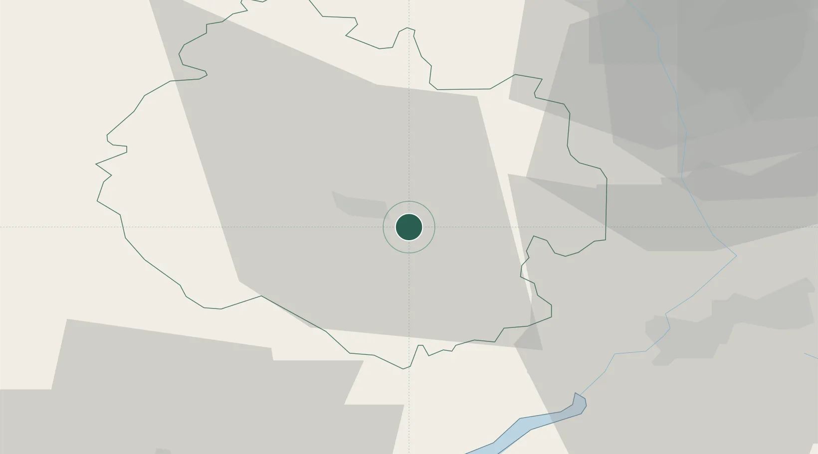
Hampton Bishop
52.0333°, -2.6500°
339
Population
2
Transport functions
Transport Functions
Road
Multimodal
Hub Profile
Place type
Populated place
Region
England
Population
339
Time zone
Europe/London
Elevation
50 m
Location
Nearby Logistics Neighbours
Cities
- 1Moreton on Lugg9 km
- 2Bishops Frome15 km
- 3Llangarron17 km
- 4Newent20 km
- 5Ruardean22 km
Airports
- 1Gloucestershire Airport37 km
- 2RAF Fairford71 km
- 3RAF Cosford72 km
- 4Bristol Airport73 km
- 5Birmingham Airport77 km
Trade Zones
DatabookThe Record of Consolidated Knowledge
United Kingdom beyond logistics?