Transport Functions
Multimodal
Hub Profile
Place type
Populated place
Region
England
Population
25,000
Time zone
Europe/London
Elevation
22 m
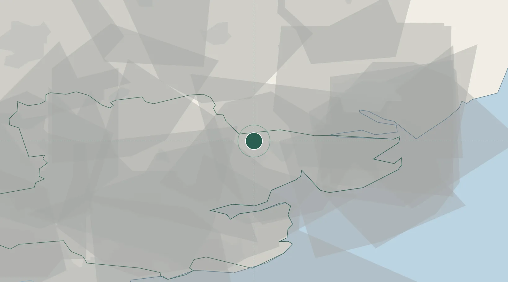
Location
Nearby Logistics Neighbours
Cities
- 1Wakes Colne6 km
- 2Thorpe Bay8 km
- 3Earls Colne10 km
- 4Castle Hedingham17 km
- 5Great Bentley18 km
Ports
- 1Colchester8 km
- 2Ipswich26 km
- 3Harwich31 km
- 4Felixstowe33 km
- 5Sheerness54 km
Airports
- 1Wattisham Airfield23 km
- 2London Stansted Airport41 km
- 3London Southend Airport42 km
- 4RAF Honington46 km
- 5RAF Mildenhall53 km
Trade Zones
DatabookThe Record of Consolidated Knowledge
United Kingdom beyond logistics?