UN/LOCODE hub · United Kingdom
GBEHE
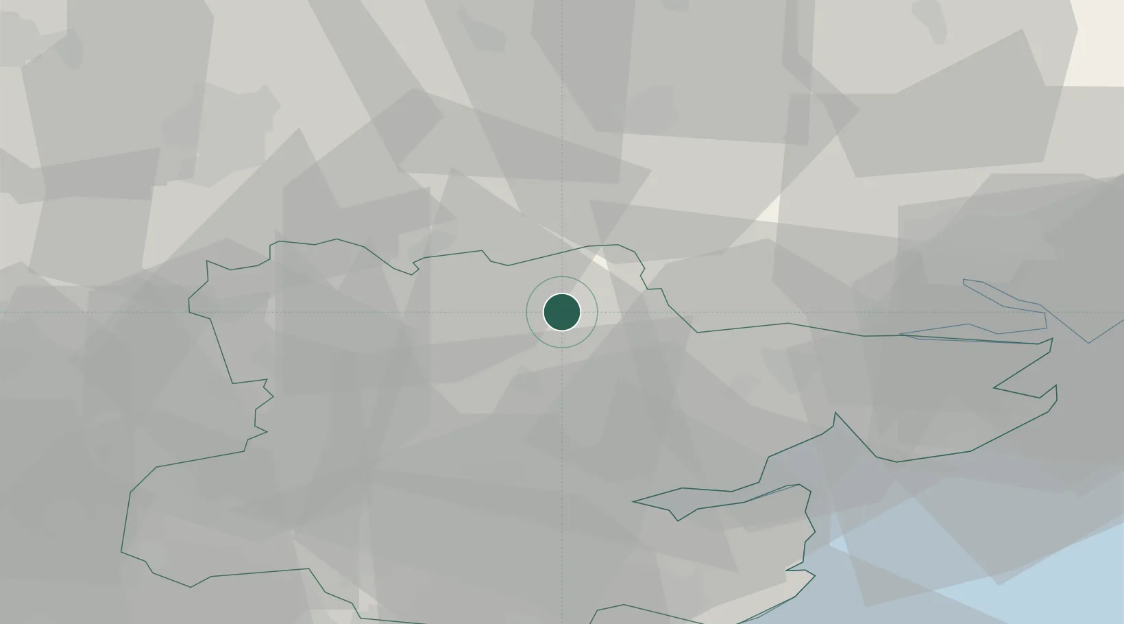
Castle Hedingham
51.9833°, 0.6000°
1,063
Population
1
Transport functions
Transport Functions
Multimodal
Hub Profile
Place type
Populated place
Region
England
Population
1,063
Time zone
Europe/London
Elevation
53 m
Location
Nearby Logistics Neighbours
Cities
- 1Earls Colne8 km
- 2Wakes Colne13 km
- 3Stanstead14 km
- 4Thorpe Bay15 km
- 5Pitsea17 km
Ports
- 1Colchester24 km
- 2Ipswich40 km
- 3Harwich47 km
- 4Felixstowe49 km
- 5Sheerness60 km
Airports
- 1London Stansted Airport27 km
- 2Wattisham Airfield29 km
- 3Cambridge City Airport38 km
- 4RAF Honington42 km
- 5RAF Mildenhall43 km
Trade Zones
DatabookThe Record of Consolidated Knowledge
United Kingdom beyond logistics?