Transport Functions
Rail
Road
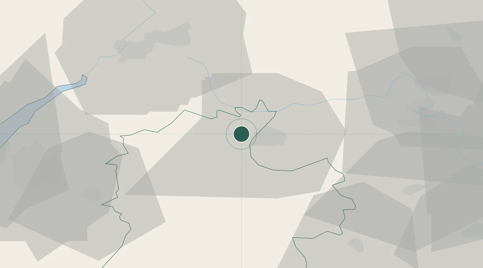
Hub Profile
Place type
District seat
Region
England
Population
3,554
Time zone
Europe/London
Elevation
105 m
Location
Nearby Logistics Neighbours
Airports
- 1RAF Fairford12 km
- 2RAF Brize Norton27 km
- 3Gloucestershire Airport40 km
- 4London Oxford Airport47 km
- 5MoD Boscombe Down49 km
Trade Zones
DatabookThe Record of Consolidated Knowledge
United Kingdom beyond logistics?