Transport Functions
Rail
Road
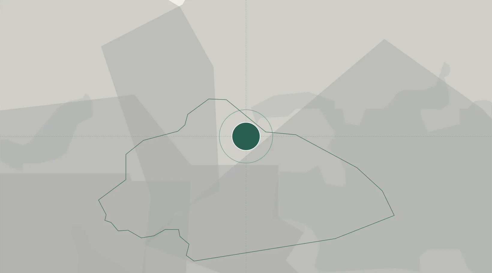
Hub Profile
Place type
Populated place
Region
England
Population
6,213
Time zone
Europe/London
Elevation
177 m
Location
Nearby Logistics Neighbours
Cities
- 1Keighley8 km
- 2Bingley9 km
- 3Cross Hills10 km
- 4Bradford14 km
- 5Laisterdyke15 km
Ports
- 1Manchester43 km
- 2Lancaster60 km
- 3Heysham68 km
- 4Howdendyke71 km
- 5Fleetwood71 km
Airports
- 1Leeds Bradford Airport20 km
- 2Leeds East Airport50 km
- 3Manchester Airport56 km
- 4RAF Topcliffe57 km
- 5RAF Leeming60 km
DatabookThe Record of Consolidated Knowledge
United Kingdom beyond logistics?