Transport Functions
Rail
Road
Multimodal
Hub Profile
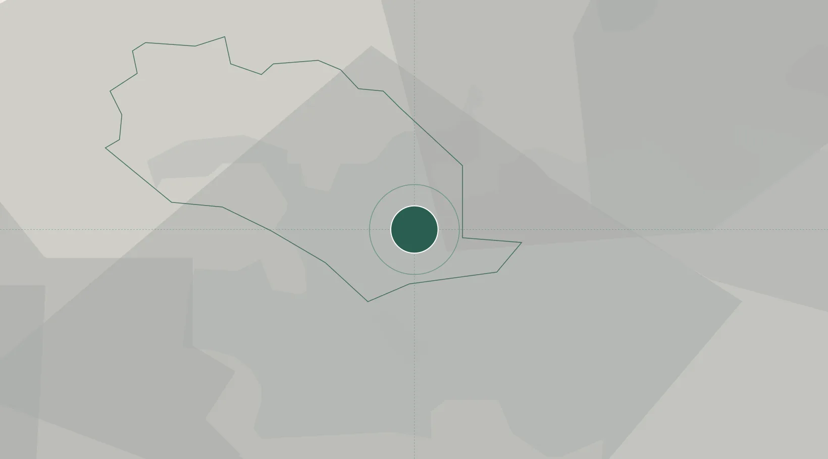
Place type
Urban district
Region
England
Time zone
Europe/London
Elevation
172 m
Location
Nearby Logistics Neighbours
Cities
- 1Bradford3 km
- 2Dudley Hill4 km
- 3Apperley Bridge4 km
- 4Stanningley6 km
- 5Horsforth7 km
Ports
- 1Manchester51 km
- 2Howdendyke55 km
- 3Goole59 km
- 4Lancaster75 km
- 5Heysham83 km
Airports
- 1Leeds Bradford Airport8 km
- 2Leeds East Airport35 km
- 3RAF Topcliffe50 km
- 4RAF Leeming57 km
- 5Manchester Airport62 km
DatabookThe Record of Consolidated Knowledge
United Kingdom beyond logistics?