UN/LOCODE hub · United Kingdom
GBOHI
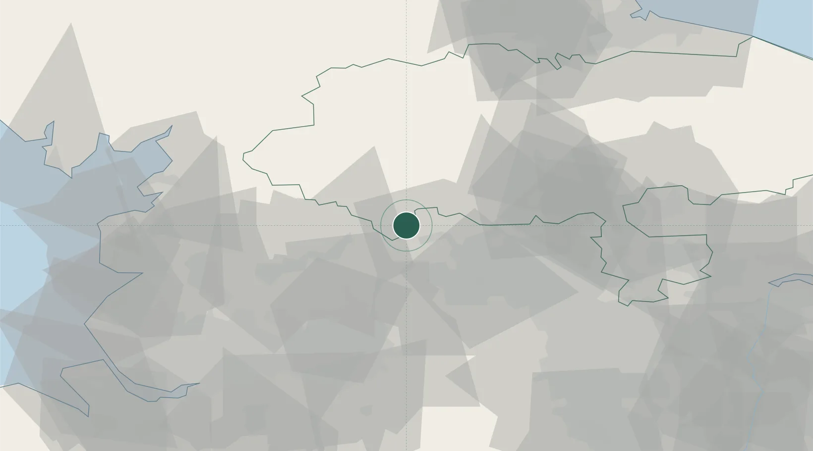
Cross Hills
53.9000°, -1.9833°
11,731
Population
2
Transport functions
Transport Functions
Road
Multimodal
Hub Profile
Place type
Populated place
Region
England
Population
11,731
Time zone
Europe/London
Elevation
93 m
Location
Nearby Logistics Neighbours
Cities
- 1Keighley5 km
- 2Embsay7 km
- 3Denby Dale9 km
- 4Haworth10 km
- 5Bingley11 km
Ports
- 1Manchester50 km
- 2Lancaster55 km
- 3Heysham63 km
- 4Fleetwood68 km
- 5Howdendyke75 km
Airports
- 1Leeds Bradford Airport22 km
- 2RAF Topcliffe52 km
- 3Leeds East Airport52 km
- 4RAF Leeming53 km
- 5Warton Aerodrome62 km
Trade Zones
DatabookThe Record of Consolidated Knowledge
United Kingdom beyond logistics?