UN/LOCODE hub · United Kingdom
GBCBU
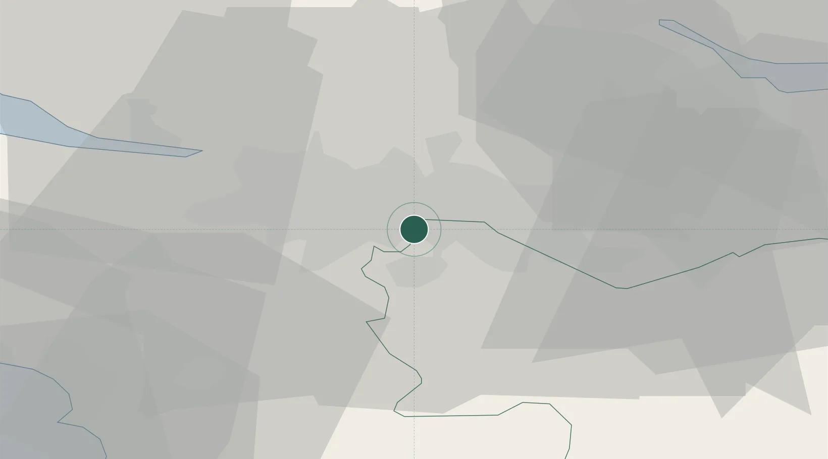
Cambuslang
55.8167°, -4.1833°
27,610
Population
2
Transport functions
Transport Functions
Rail
Road
Hub Profile
Place type
Populated place
Region
Scotland
Population
27,610
Time zone
Europe/London
Elevation
76 m
Location
Nearby Logistics Neighbours
Cities
- 1Glasgow7 km
- 2Hamilton11 km
- 3Mossend12 km
- 4Moodiesburn13 km
- 5Holytown14 km
Ports
- 1Glasgow8 km
- 2Renfrew15 km
- 3Old Kilpatrick21 km
- 4Bowling23 km
- 5Grangemouth37 km
Airports
- 1Glasgow Airport17 km
- 2Glasgow Prestwick Airport43 km
- 3Edinburgh Airport53 km
- 4Dundee Airport101 km
- 5Leuchars Station Airfield102 km
Trade Zones
DatabookThe Record of Consolidated Knowledge
United Kingdom beyond logistics?