Transport Functions
Port
Rail
Road
Hub Profile
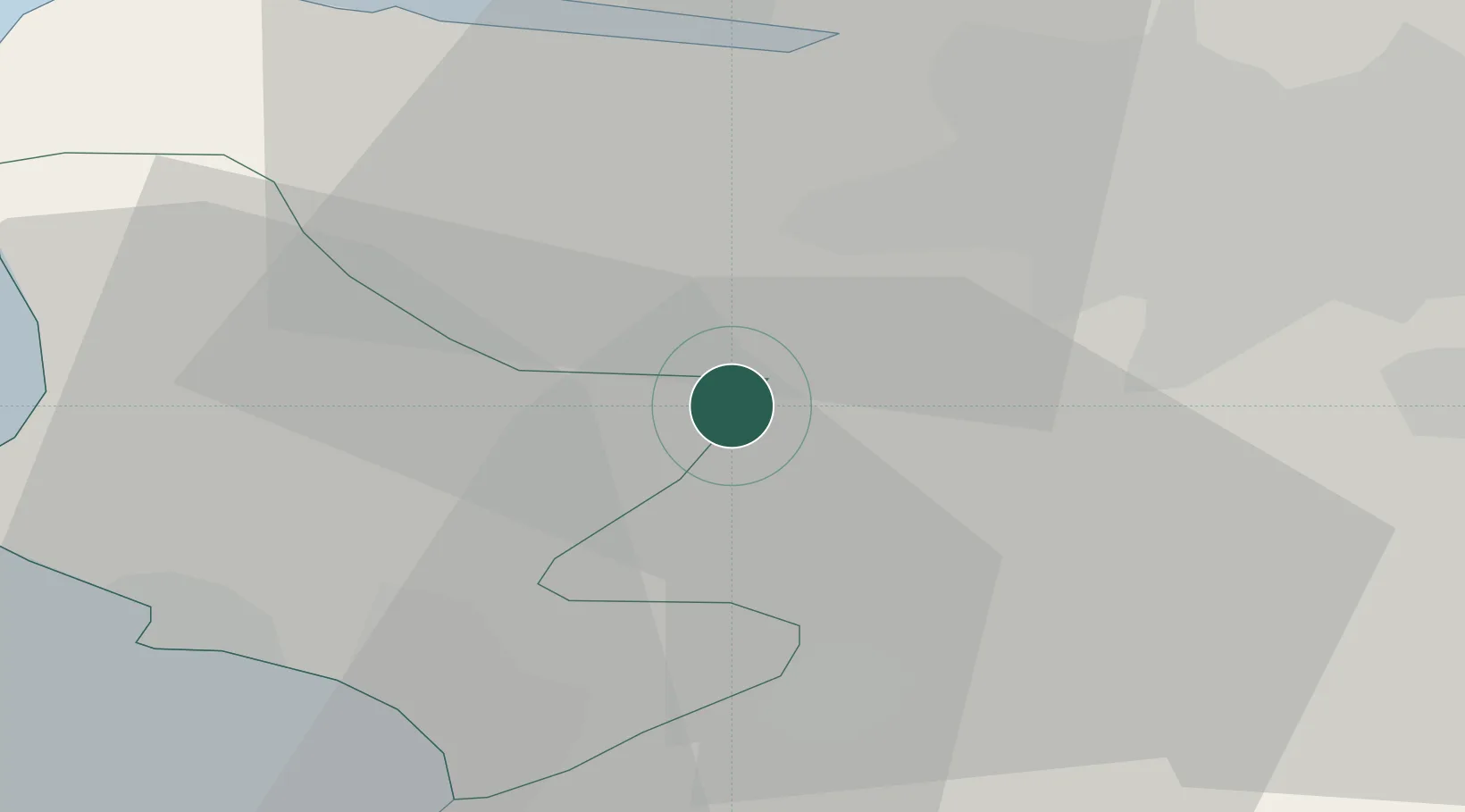
Place type
Populated place
Region
Scotland
Time zone
Europe/London
Elevation
117 m
Location
Nearby Logistics Neighbours
Cities
- 1Howwood6 km
- 2Neilston8 km
- 3Fenwick13 km
- 4Georgetown14 km
- 5Renfrew17 km
Ports
- 1Renfrew18 km
- 2Old Kilpatrick19 km
- 3Glasgow20 km
- 4Bowling21 km
- 5Ardrossan21 km
Airports
- 1Glasgow Airport15 km
- 2Glasgow Prestwick Airport28 km
- 3Edinburgh Airport76 km
- 4Campbeltown Airport80 km
- 5Oban Airport96 km
Trade Zones
DatabookThe Record of Consolidated Knowledge
United Kingdom beyond logistics?