Transport Functions
Rail
Hub Profile
Place type
Populated place
Region
England
Time zone
Europe/London
Elevation
24 m
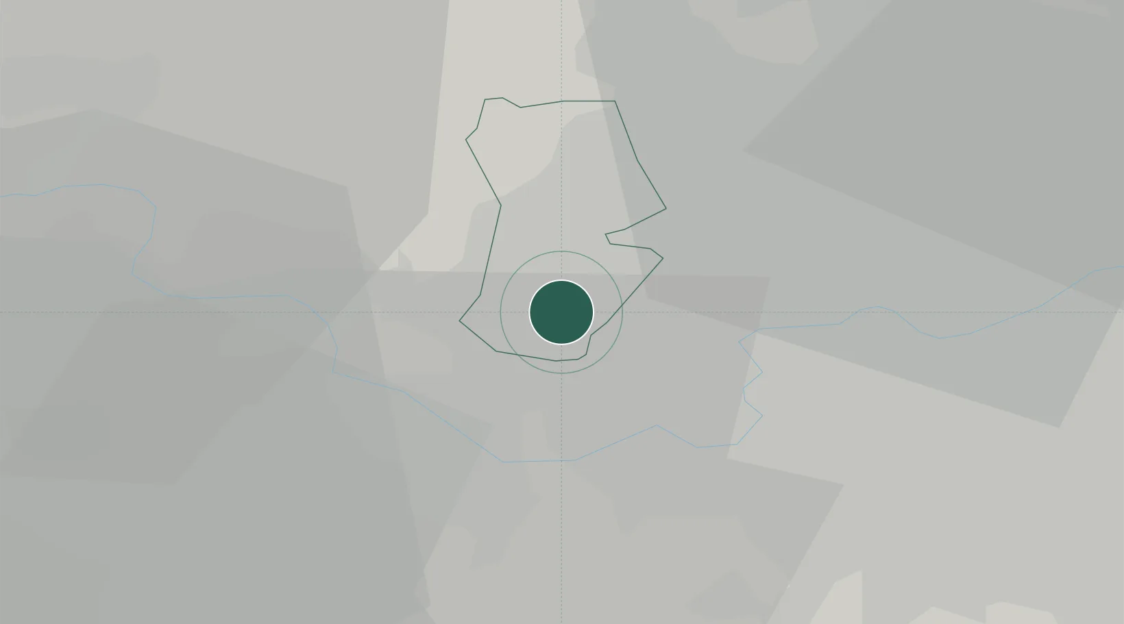
Location
Nearby Logistics Neighbours
Ports
- 1London24 km
- 2Tilbury53 km
- 3Gravesend56 km
- 4Chatham Docks69 km
- 5Shoreham Harbour75 km
Airports
- 1London Heathrow Airport2 km
- 2RAF Northolt8 km
- 3Farnborough Airport33 km
- 4Blackbushe Airport34 km
- 5London City Airport34 km
Trade Zones
DatabookThe Record of Consolidated Knowledge
United Kingdom beyond logistics?