UN/LOCODE hub · United Kingdom
GBLHS

Loch Striven

55.9333°, -5.0667°
1
Transport functions

Transport Functions

Port
UN/LOCODE

Hub Profile

Region
AGB
GeoNames

Location

Location of GBLHS
Natural Earth 10m (public domain) · AGB · GBLHS · 55.93, -5.07GoogleOSMYandex

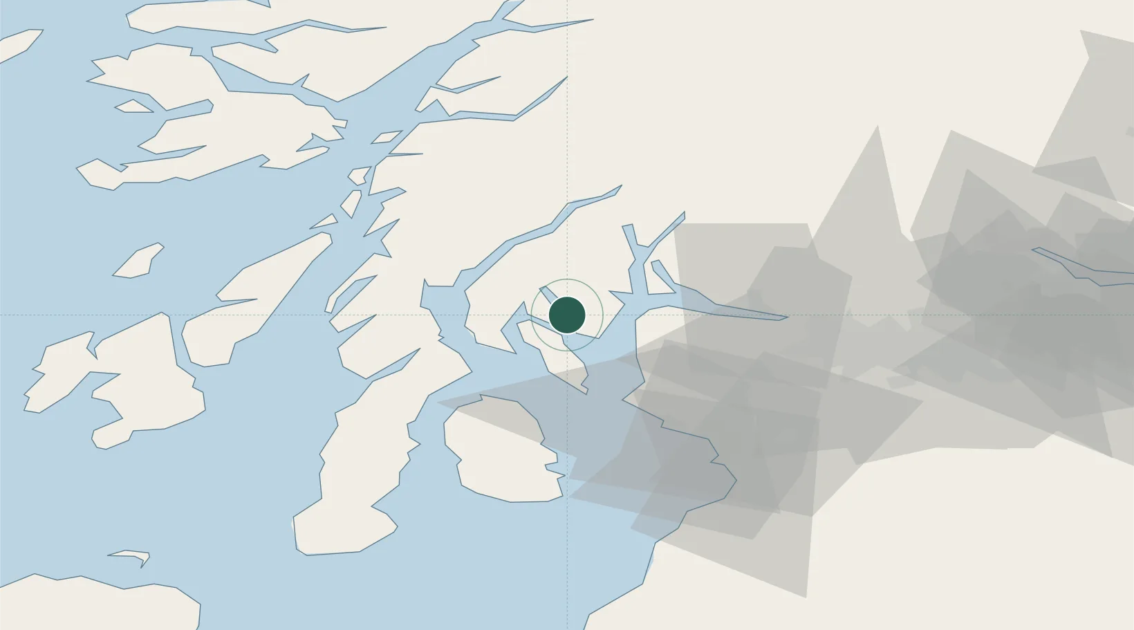
Nearby Logistics Neighbours

Cities
  1. 1Colintraive5 km
  2. 2Rhubodach, Isle of Bute5 km
  3. 3Ardmaleish8 km
  4. 4Dunoon8 km
  5. 5Rothesay, Isle of Bute8 km
Nearest neighbours — logibook spatial index (haversine) over the source coordinates
Ports
  1. 1Rothesay Harbor11 km
  2. 2Largs19 km
  3. 3Greenock20 km
  4. 4Faslane21 km
  5. 5Millport22 km
Nearest neighbours — logibook spatial index (haversine) over the source coordinates
Airports
  1. 1Glasgow Airport40 km
  2. 2Glasgow Prestwick Airport57 km
  3. 3Oban Airport62 km
  4. 4Campbeltown Airport68 km
  5. 5Colonsay Airstrip74 km
Nearest neighbours — logibook spatial index (haversine) over the source coordinates
Trade Zones
  1. 1Prestwick Airport Free Zone55 km
  2. 2Carlisle Kingmoor Park Enterprise Zone173 km
  3. 3Isle of Man Free Zone and Business Park207 km
  4. 4Blackpool Enterprise Zone273 km
  5. 5Hillhouse Enterprise Zone275 km
Nearest neighbours — logibook spatial index (haversine) over the source coordinates
DatabookThe Record of Consolidated Knowledge
United Kingdom beyond logistics?
Browse databook

All Sources

LocationsUN/LOCODE
UN/LOCODE — free
Portsthe NGA World Port Index
Public domain (US gov)
AirportsOurAirports
Public domain
Trade Zonesthe World Bank SEZ database
CC BY 4.0
Trade ZonesOpen Zone Map
CC BY
← United Kingdom locations