UN/LOCODE hub · United Kingdom
GBLWA
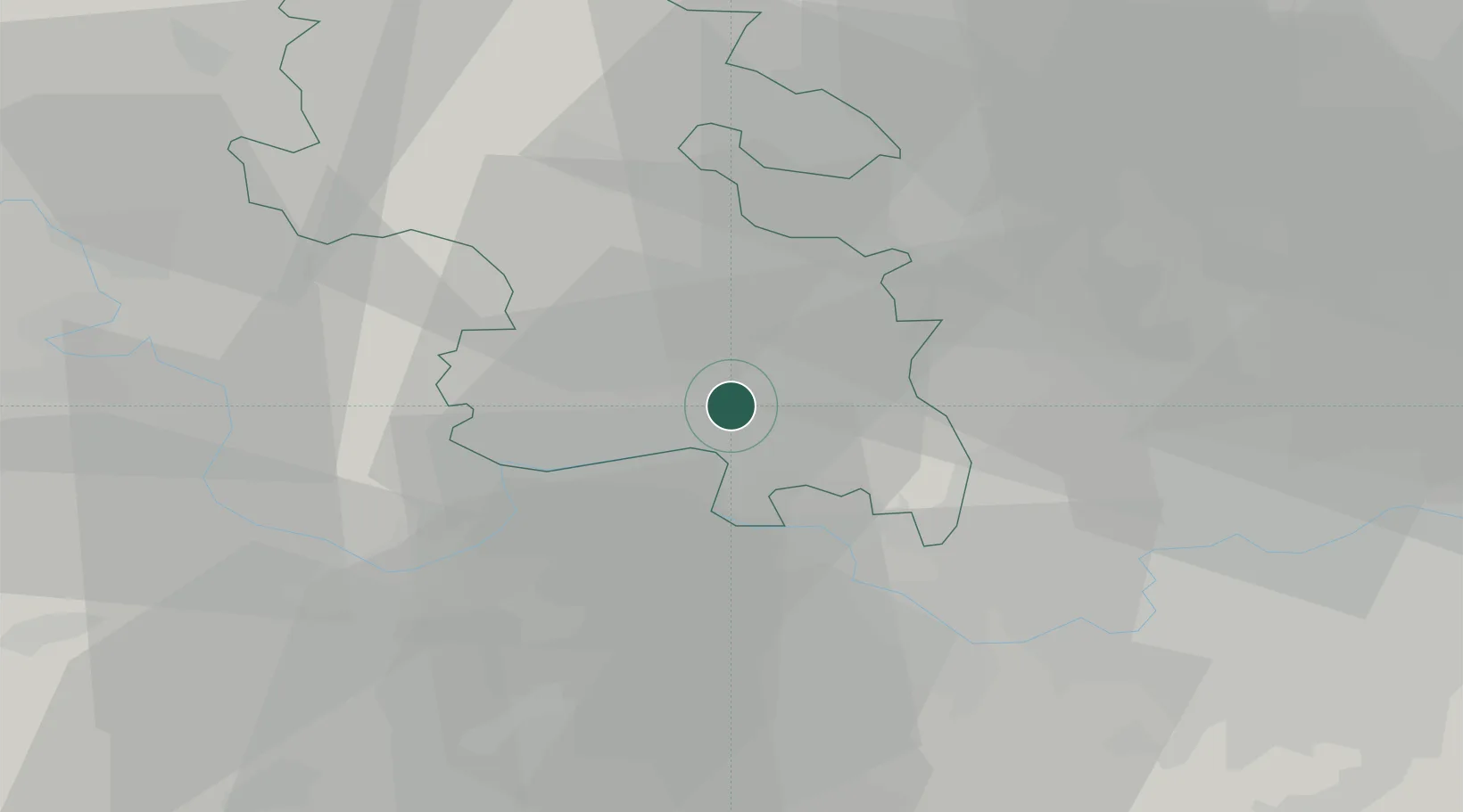
Loudwater
51.6000°, -0.6833°
4,170
Population
2
Transport functions
Transport Functions
Rail
Road
Hub Profile
Place type
Populated place
Region
England
Population
4,170
Time zone
Europe/London
Elevation
78 m
Location
Nearby Logistics Neighbours
Cities
- 1Little Chalfont11 km
- 2Stoke Newington11 km
- 3Bray11 km
- 4Stoke Poges12 km
- 5Upton14 km
Ports
- 1London43 km
- 2Tilbury72 km
- 3Gravesend75 km
- 4Chatham Docks88 km
- 5Littlehampton Harbour91 km
Airports
- 1RAF Northolt19 km
- 2London Heathrow Airport21 km
- 3RAF Benson29 km
- 4Blackbushe Airport33 km
- 5Farnborough Airport37 km
DatabookThe Record of Consolidated Knowledge
United Kingdom beyond logistics?