UN/LOCODE hub · United Kingdom
GBREB

Redcliff Bay

51.4667°, -2.7833°
1
Transport functions

Transport Functions

Port
UN/LOCODE

Hub Profile

Region
NSM
GeoNames

Location

Location of GBREB
Natural Earth 10m (public domain) · NSM · GBREB · 51.47, -2.78GoogleOSMYandex

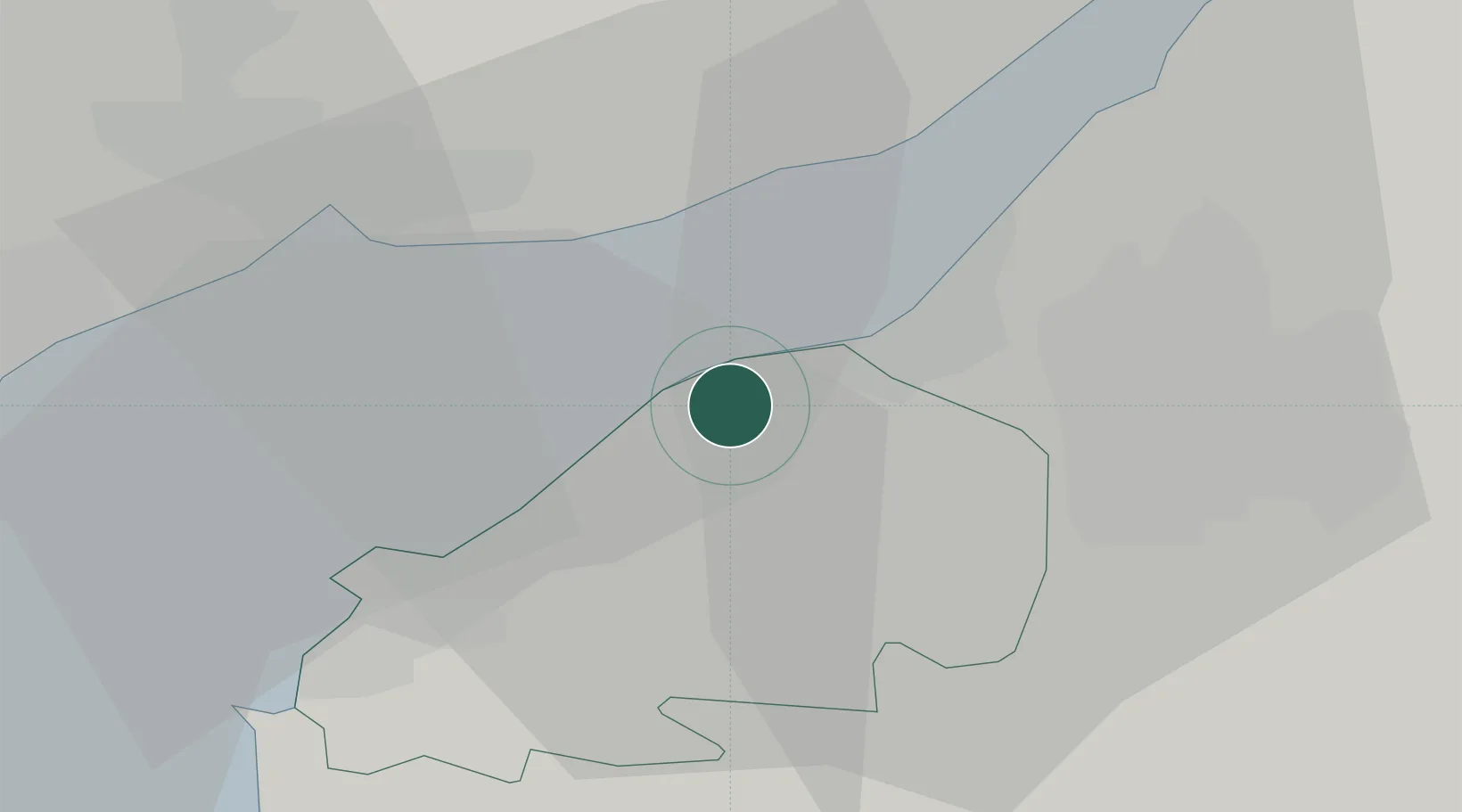
Nearby Logistics Neighbours

Cities
  1. 1Portishead2 km
  2. 2Clevedon5 km
  3. 3Portbury5 km
  4. 4Bristol7 km
  5. 5Avonmouth7 km
Nearest neighbours — logibook spatial index (haversine) over the source coordinates
Ports
  1. 1Avonmouth6 km
  2. 2Bristol10 km
  3. 3Newport17 km
  4. 4Bird Port17 km
  5. 5Cardiff27 km
Nearest neighbours — logibook spatial index (haversine) over the source coordinates
Airports
  1. 1Bristol Airport11 km
  2. 2Cardiff International Airport40 km
  3. 3MOD St Athan46 km
  4. 4RNAS Yeovilton52 km
  5. 5Gloucestershire Airport64 km
Nearest neighbours — logibook spatial index (haversine) over the source coordinates
Trade Zones
  1. 1Bristol Temple Quarter Enterprise Zone14 km
  2. 2Ceramics Valley44 km
  3. 3Hereford Enterprise Zone64 km
  4. 4Exeter & East Devon Enterprise Zone94 km
  5. 5Dorset Innovation Park95 km
Nearest neighbours — logibook spatial index (haversine) over the source coordinates
DatabookThe Record of Consolidated Knowledge
United Kingdom beyond logistics?
Browse databook

All Sources

LocationsUN/LOCODE
UN/LOCODE — free
Portsthe NGA World Port Index
Public domain (US gov)
AirportsOurAirports
Public domain
Trade Zonesthe World Bank SEZ database
CC BY 4.0
Trade ZonesOpen Zone Map
CC BY
← United Kingdom locations