Transport Functions
Multimodal
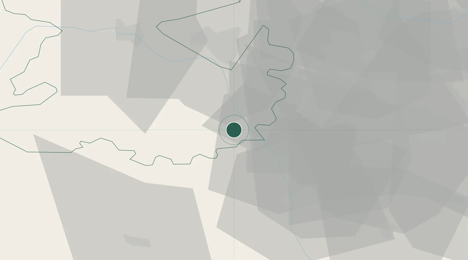
Hub Profile
Place type
Populated place
Region
England
Time zone
Europe/London
Elevation
24 m
Location
Nearby Logistics Neighbours
Cities
- 1Alveley7 km
- 2Cleobury Mortimer7 km
- 3Tenbury17 km
- 4Hilton18 km
- 5Stanlow20 km
Airports
- 1RAF Cosford26 km
- 2Birmingham Airport46 km
- 3RAF Shawbury46 km
- 4Gloucestershire Airport61 km
- 5Coventry Airport64 km
Trade Zones
DatabookThe Record of Consolidated Knowledge
United Kingdom beyond logistics?