UN/LOCODE hub · United Kingdom
GBCMM
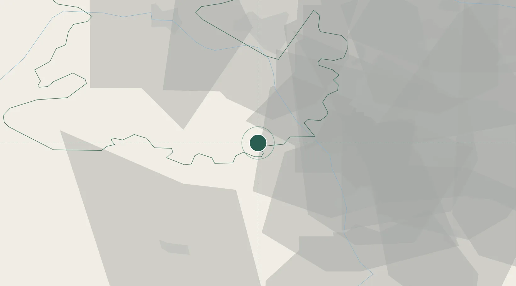
Cleobury Mortimer
52.3667°, -2.4833°
2,711
Population
2
Transport functions
Transport Functions
Road
Multimodal
Hub Profile
Place type
Populated place
Region
England
Population
2,711
Time zone
Europe/London
Elevation
133 m
Location
Nearby Logistics Neighbours
Airports
- 1RAF Cosford33 km
- 2RAF Shawbury50 km
- 3Birmingham Airport51 km
- 4Gloucestershire Airport57 km
- 5Coventry Airport68 km
Trade Zones
DatabookThe Record of Consolidated Knowledge
United Kingdom beyond logistics?