Transport Functions
Multimodal
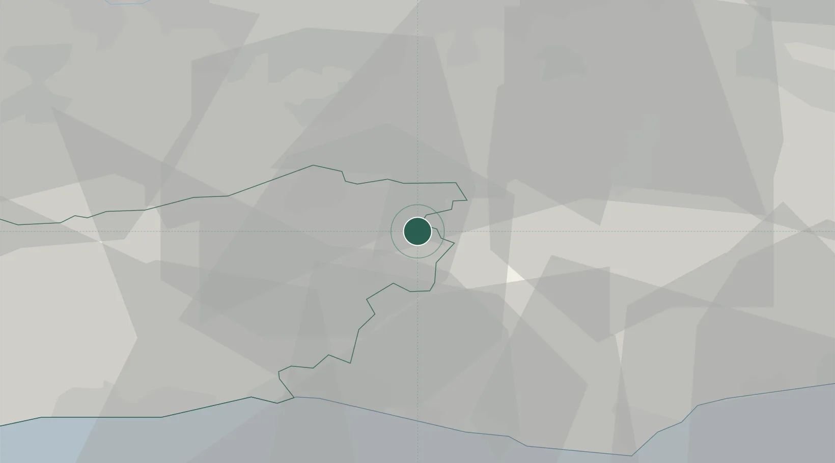
Hub Profile
Place type
Populated place
Region
England
Time zone
Europe/London
Elevation
145 m
Location
Nearby Logistics Neighbours
Cities
- 1Felbridge6 km
- 2Upper Hartfield9 km
- 3New Chapel11 km
- 4Ansty12 km
- 5Salfords20 km
Ports
- 1Shoreham Harbour32 km
- 2Newhaven Harbour32 km
- 3Littlehampton Harbour47 km
- 4London48 km
- 5Gravesend51 km
Airports
- 1London Gatwick Airport14 km
- 2London Biggin Hill Airport30 km
- 3Brighton City Airport32 km
- 4London City Airport49 km
- 5London Heathrow Airport54 km
Trade Zones
DatabookThe Record of Consolidated Knowledge
United Kingdom beyond logistics?