UN/LOCODE hub · United Kingdom
GBZCS
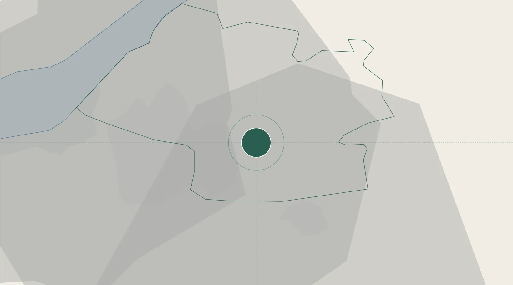
Pucklechurch
51.4833°, -2.4333°
2,364
Population
1
Transport functions
Transport Functions
Multimodal
Hub Profile
Place type
District seat
Region
England
Population
2,364
Time zone
Europe/London
Elevation
113 m
Location
Nearby Logistics Neighbours
Cities
- 1Westerleigh2 km
- 2Emersons Green2 km
- 3Wick4 km
- 4Bradley Stoke10 km
- 5Keynsham10 km
Airports
- 1Bristol Airport23 km
- 2Gloucestershire Airport49 km
- 3RAF Fairford50 km
- 4RNAS Yeovilton55 km
- 5MoD Boscombe Down60 km
Trade Zones
DatabookThe Record of Consolidated Knowledge
United Kingdom beyond logistics?