Transport Functions
Multimodal
Hub Profile
Place type
Populated place
Region
Nouvelle-Aquitaine
Time zone
Europe/Paris
Elevation
144 m
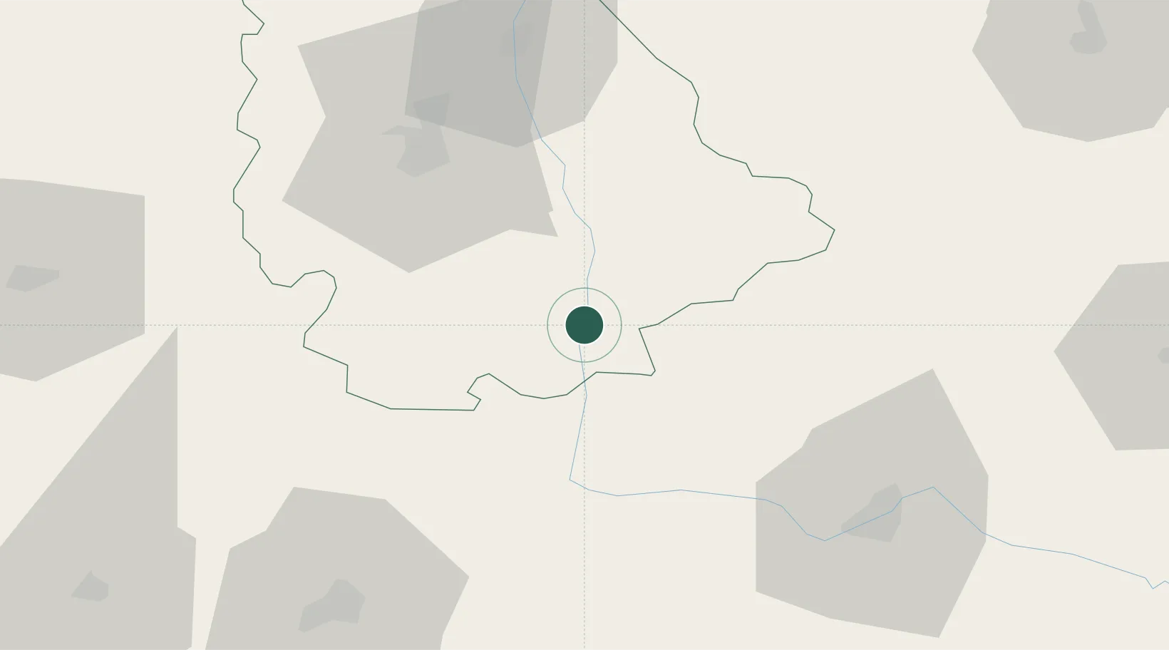
Location
Nearby Logistics Neighbours
Cities
- 1Le Vigeant3 km
- 2Availles-Limouzine13 km
- 3Verrières22 km
- 4Mézières-sur-Issoire23 km
- 5Montmorillon26 km
Ports
- 1Tonnay Charente127 km
- 2Rochefort130 km
- 3La Rochelle141 km
- 4La Pallice146 km
- 5Le Verdon154 km
Airports
Trade Zones
- 1ZFU La Rochelle146 km
- 2ZFU Blois156 km
- 3ZFU Bourges157 km
- 4ZFU Angers170 km
- 5Port de Bordeaux175 km
DatabookThe Record of Consolidated Knowledge
France beyond logistics?