UN/LOCODE hub · France
FRZTY
Entraygues-sur-Truyère
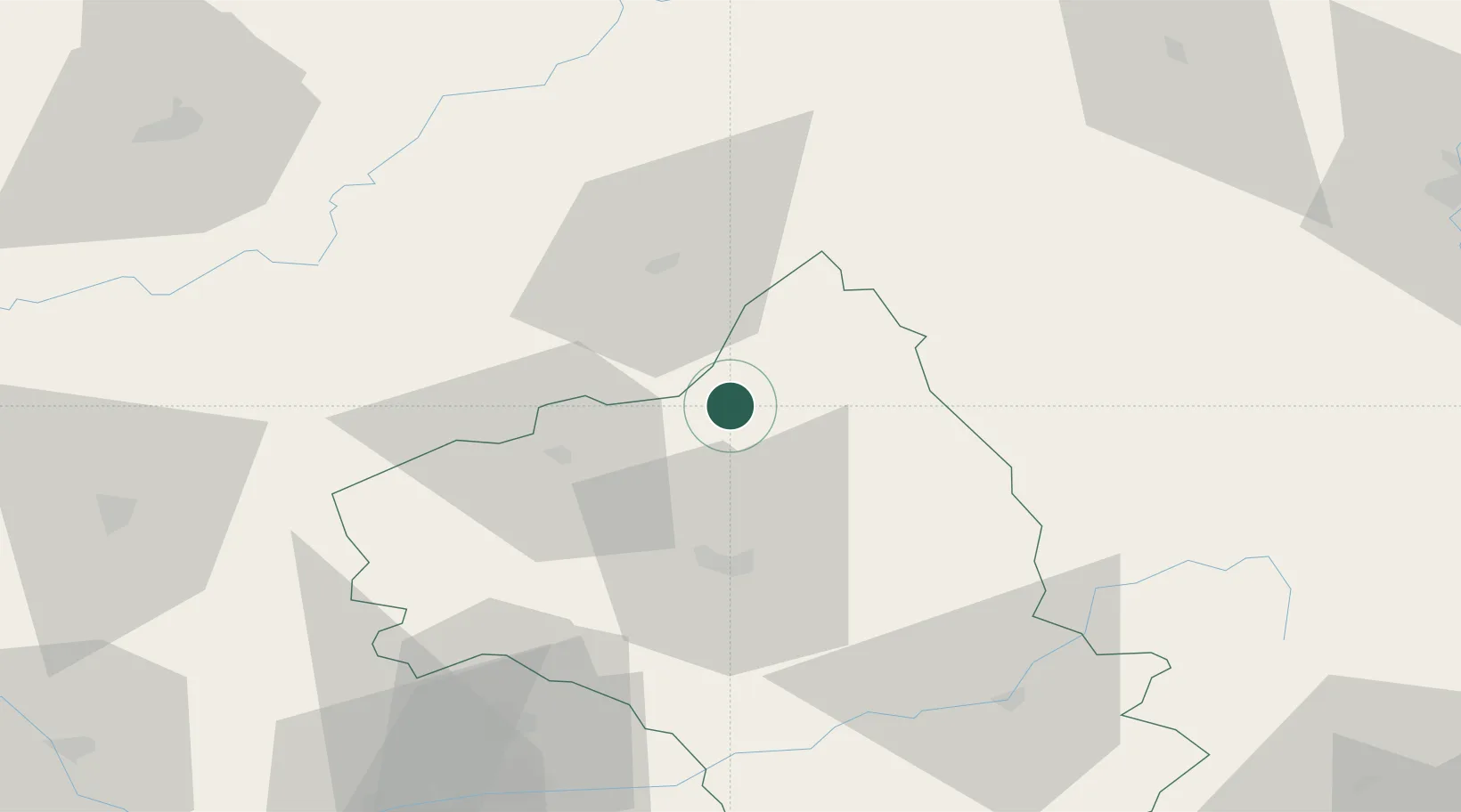
44.6500°, 2.5667°
1,417
Population
2
Transport functions
Transport Functions
Road
Multimodal
Hub Profile
Place type
Populated place
Region
Occitanie
Population
1,417
Time zone
Europe/Paris
Elevation
258 m
Location
Nearby Logistics Neighbours
Cities
- 1Le Fel5 km
- 2Campouriez5 km
- 3Prayssac21 km
- 4Valady25 km
- 5Cransac27 km
Ports
- 1Sete166 km
- 2Port-La-Nouvelle186 km
- 3Port Saint Louis Du Rhone229 km
- 4Fos230 km
- 5Port-de-Bouc238 km
Airports
- 1Rodez–Aveyron Airport28 km
- 2Aurillac airport29 km
- 3Mende-Brenoux Airfield78 km
- 4Albi Le Sequestre airport90 km
- 5Cahors Lalbenque airport93 km
Trade Zones
- 1ZFU Clermont-Ferrand133 km
- 2ZFU Toulouse147 km
- 3ZFU Montpellier155 km
- 4ZFU Béziers155 km
- 5ZFU Saint-Etienne161 km
DatabookThe Record of Consolidated Knowledge
France beyond logistics?