Medium airport · France

Mende-Brenoux AirfieldLFNB
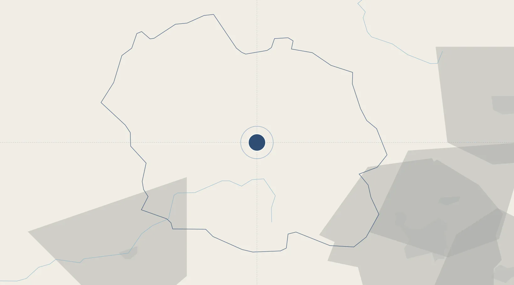
44.5021°, 3.5328°
4,265 ft
Longest runway
1
Runways
3,362 ft
Elevation

Runway & Layout

Mende-Brenoux Airfield runway & taxiway layout
Runway & taxiway layout — OpenStreetMap (ODbL) / OurAirports

Radio Frequencies

AFIS
119.6 MHz
MENDE INFO
OurAirports

Runways · 1

RunwayDimensions SurfaceTrue headingLit
12/30 4,265 × 98ft Asphalt 125°
OurAirports

Airport Specifications

IATA code
MEN
OurAirports
ICAO code
LFNB
OurAirports
Airport class
Medium airport
OurAirports
Scheduled service
No
OurAirports
Runway surface
Asphalt
OurAirports
Served city
Mende/Brénoux
OurAirports

Location

Location of LFNB
Natural Earth 10m (public domain) · Lozère · LFNB · 44.50, 3.53GoogleOSMYandex

Nearby Logistics Neighbours

Airports
  1. 1Aubenas-South Ardèche Airport67 km
  2. 2Le Puy-Loudes Airfield67 km
  3. 3Aérodrome d'Alès Cévennes68 km
  4. 4Rodez–Aveyron Airport84 km
  5. 5Aurillac airport98 km
Nearest neighbours — logibook spatial index (haversine) over the source coordinates
Cities
  1. 1Mende3 km
  2. 2Auroux32 km
  3. 3Langogne35 km
  4. 4Florac37 km
  5. 5Fontanes37 km
Nearest neighbours — logibook spatial index (haversine) over the source coordinates
Ports
  1. 1Sete123 km
  2. 2Port Saint Louis Du Rhone161 km
  3. 3Fos162 km
  4. 4Port-de-Bouc169 km
  5. 5Port-La-Nouvelle169 km
Nearest neighbours — logibook spatial index (haversine) over the source coordinates
Trade Zones
  1. 1ZFU Nîmes100 km
  2. 2ZFU Montpellier103 km
  3. 3ZFU Valence114 km
  4. 4ZFU Avignon118 km
  5. 5ZFU Saint-Etienne119 km
Nearest neighbours — logibook spatial index (haversine) over the source coordinates
DatabookThe Record of Consolidated Knowledge
France beyond logistics?
Browse databook

All Sources

AirportsOurAirports
Public domain
Portsthe NGA World Port Index
Public domain (US gov)
LocationsUN/LOCODE
UN/LOCODE — free
Trade Zonesthe World Bank SEZ database
CC BY 4.0
Trade ZonesOpen Zone Map
CC BY
InfrastructureOpenStreetMap
ODbL 1.0
← France airports