Transport Functions
Multimodal
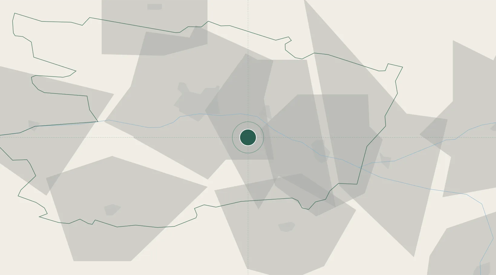
Hub Profile
Place type
Populated place
Region
Pays de la Loire
Population
420
Time zone
Europe/Paris
Elevation
53 m
Location
Nearby Logistics Neighbours
Cities
- 1Coutures4 km
- 2Saint-Georges-des-Sept-Voies5 km
- 3Ambillou-Château7 km
- 4Blaison-Gohier8 km
- 5Notre-Dame-d'Allençon10 km
Ports
- 1Nantes93 km
- 2Donges130 km
- 3Montoir135 km
- 4St Nazaire140 km
- 5Les Sables D' Olonne144 km
Airports
- 1Angers Marcé airport25 km
- 2Le Mans-Arnage Airport80 km
- 3Tours Val de Loire Airport82 km
- 4Laval-Entrammes Airport83 km
- 5Poitiers-Biard Airport97 km
Trade Zones
- 1ZFU Angers25 km
- 2ZFU Le Mans80 km
- 3ZFU Nantes et Saint-Herblain103 km
- 4ZFU Blois125 km
- 5ZFU Alençon126 km
DatabookThe Record of Consolidated Knowledge
France beyond logistics?