Transport Functions
Multimodal
Hub Profile
Place type
Populated place
Region
Pays de la Loire
Population
1,014
Time zone
Europe/Paris
Elevation
30 m
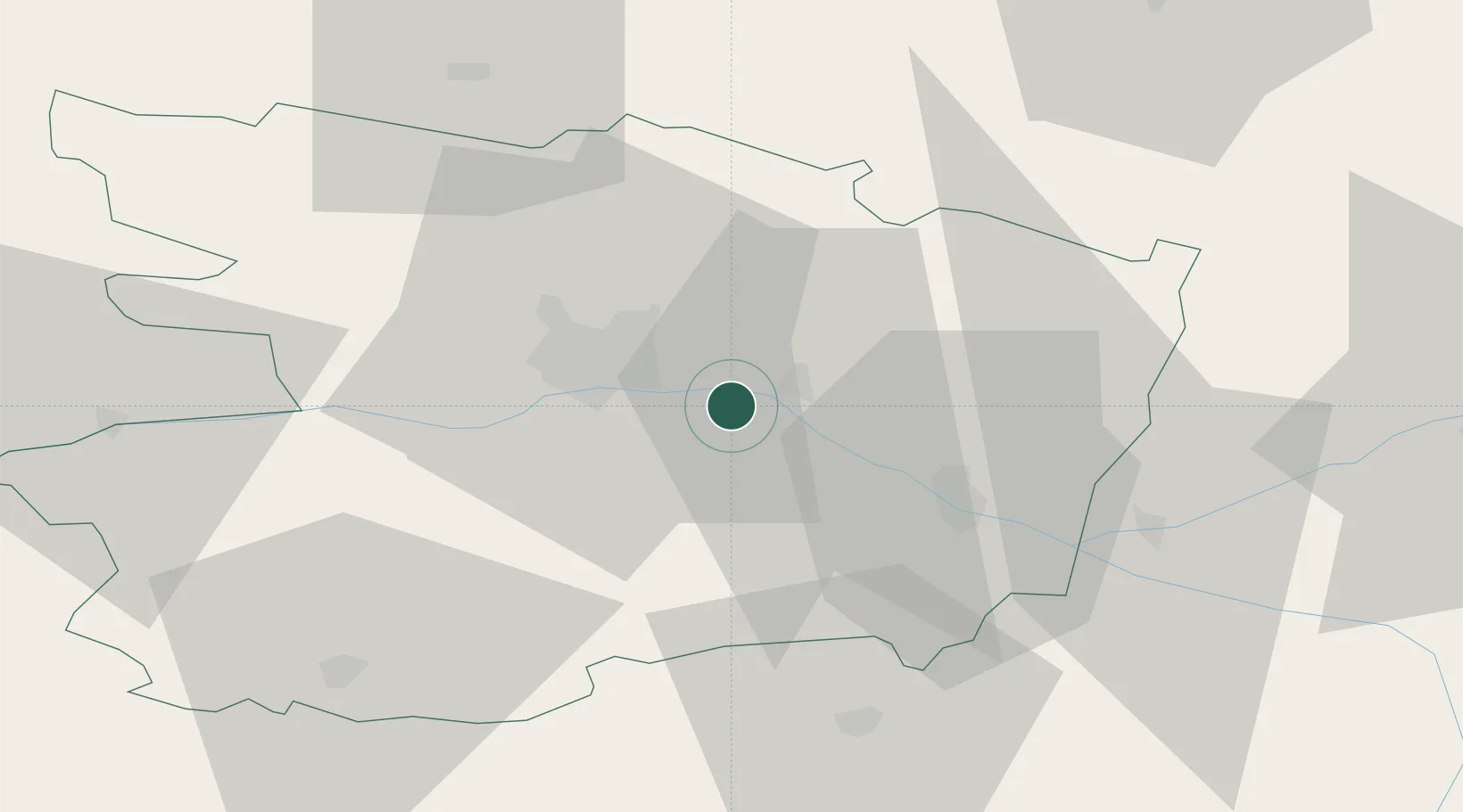
Location
Nearby Logistics Neighbours
Cities
- 1Coutures4 km
- 2Saint-Jean-des-Mauvrets6 km
- 3Corné8 km
- 4Grézillé8 km
- 5La Ménitré8 km
Ports
- 1Nantes93 km
- 2Donges129 km
- 3Montoir134 km
- 4St Nazaire139 km
- 5Les Sables D' Olonne148 km
Airports
- 1Angers Marcé airport18 km
- 2Le Mans-Arnage Airport74 km
- 3Laval-Entrammes Airport76 km
- 4Tours Val de Loire Airport82 km
- 5Nantes Atlantique Airport98 km
Trade Zones
- 1ZFU Angers20 km
- 2ZFU Le Mans75 km
- 3ZFU Nantes et Saint-Herblain102 km
- 4ZFU Alençon119 km
- 5ZFU Blois125 km
DatabookThe Record of Consolidated Knowledge
France beyond logistics?