Transport Functions
Multimodal
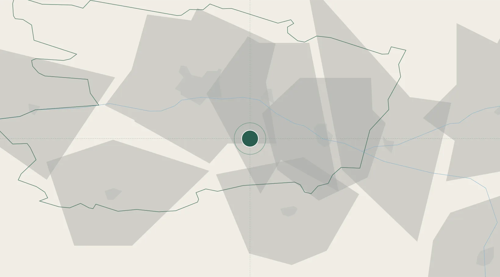
Hub Profile
Place type
Populated place
Region
Pays de la Loire
Population
902
Time zone
Europe/Paris
Elevation
77 m
Location
Nearby Logistics Neighbours
Cities
- 1Dénezé-sous-Doué7 km
- 2Grézillé7 km
- 3Saint-Georges-sur-Layon8 km
- 4Concourson-sur-Layon9 km
- 5Notre-Dame-d'Allençon10 km
Ports
- 1Nantes92 km
- 2Donges130 km
- 3Montoir135 km
- 4La Rochelle138 km
- 5La Pallice139 km
Airports
- 1Angers Marcé airport33 km
- 2Tours Val de Loire Airport83 km
- 3Le Mans-Arnage Airport86 km
- 4Laval-Entrammes Airport90 km
- 5Poitiers-Biard Airport91 km
Trade Zones
- 1ZFU Angers30 km
- 2ZFU Le Mans87 km
- 3ZFU Nantes et Saint-Herblain102 km
- 4ZFU Blois127 km
- 5ZFU Alençon133 km
DatabookThe Record of Consolidated Knowledge
France beyond logistics?