UN/LOCODE hub · France
FRGV4
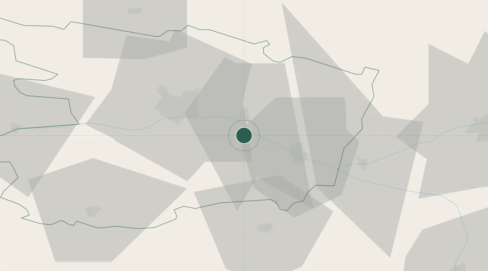
Saint-Georges-des-Sept-Voies
47.3500°, -0.2833°
599
Population
1
Transport functions
Transport Functions
Multimodal
Hub Profile
Place type
Populated place
Region
Pays de la Loire
Population
599
Time zone
Europe/Paris
Elevation
62 m
Location
Nearby Logistics Neighbours
Cities
- 1Coutures5 km
- 2Grézillé5 km
- 3La Ménitré6 km
- 4Blaison-Gohier8 km
- 5Ambillou-Château11 km
Ports
- 1Nantes98 km
- 2Donges135 km
- 3Montoir140 km
- 4St Nazaire145 km
- 5La Rochelle149 km
Airports
- 1Angers Marcé airport24 km
- 2Le Mans-Arnage Airport76 km
- 3Tours Val de Loire Airport77 km
- 4Laval-Entrammes Airport83 km
- 5Poitiers-Biard Airport96 km
Trade Zones
- 1ZFU Angers28 km
- 2ZFU Le Mans77 km
- 3ZFU Nantes et Saint-Herblain108 km
- 4ZFU Blois120 km
- 5ZFU Alençon123 km
DatabookThe Record of Consolidated Knowledge
France beyond logistics?