Transport Functions
Multimodal
Hub Profile
Place type
Populated place
Region
Grand Est
Population
488
Time zone
Europe/Paris
Elevation
303 m
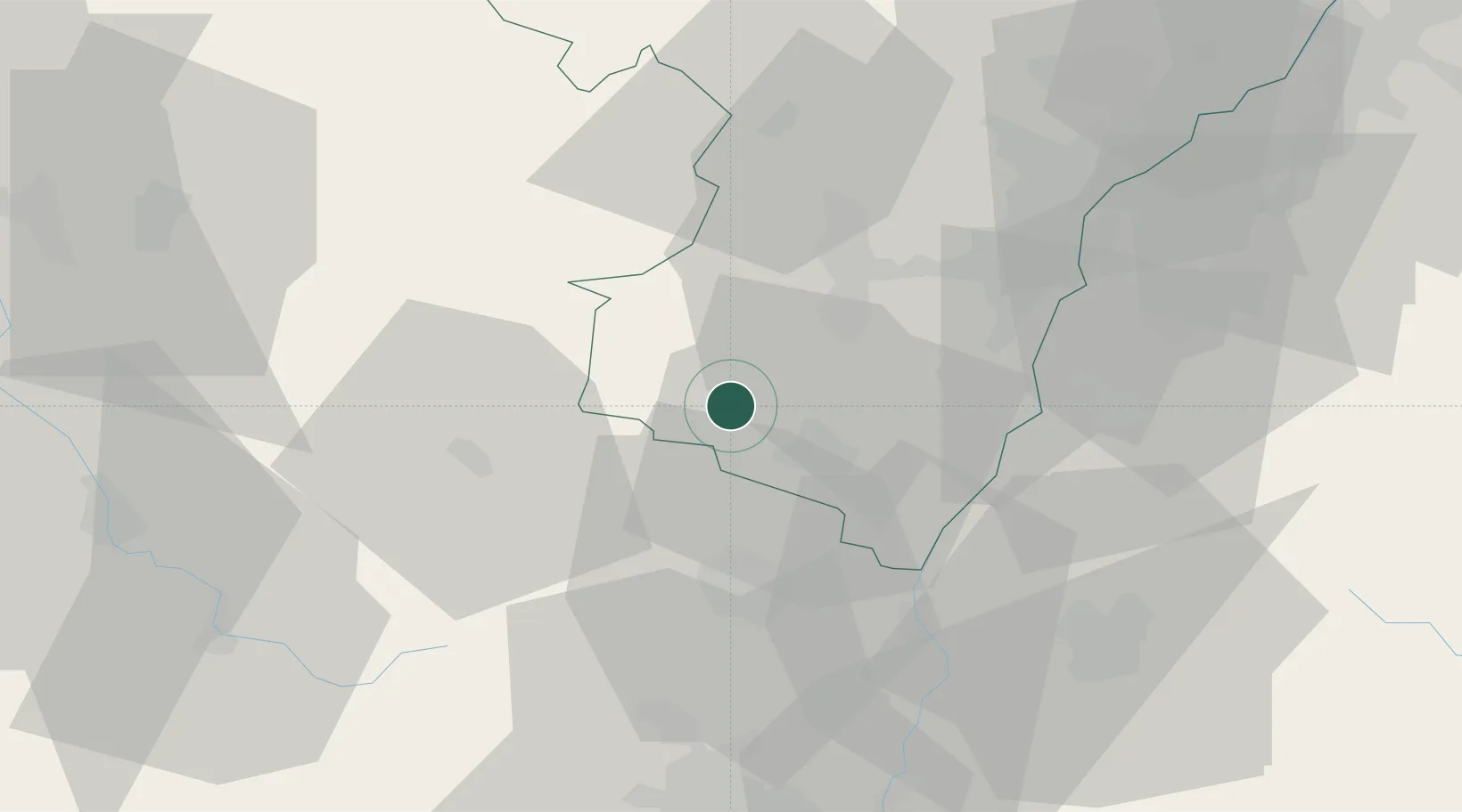
Location
Nearby Logistics Neighbours
Cities
- 1Saint-Martin1 km
- 2Villé2 km
- 3Hohwarth3 km
- 4Thanvillé5 km
- 5Reichsfeld5 km
Airports
- 1Colmar Houssen airport27 km
- 2Strasbourg Airport31 km
- 3Lahr Airport38 km
- 4Phalsbourg-Bourscheid Air Base47 km
- 5Karlsruhe Baden-Baden Airport74 km
Trade Zones
- 1ZFU Hautepierre39 km
- 2ZFU Neuhof39 km
- 3ZFU Mulhouse67 km
- 4ZFU Belfort87 km
- 5ZFU Maxéville, Laxou, et de Nancy94 km
DatabookThe Record of Consolidated Knowledge
France beyond logistics?