Transport Functions
Multimodal
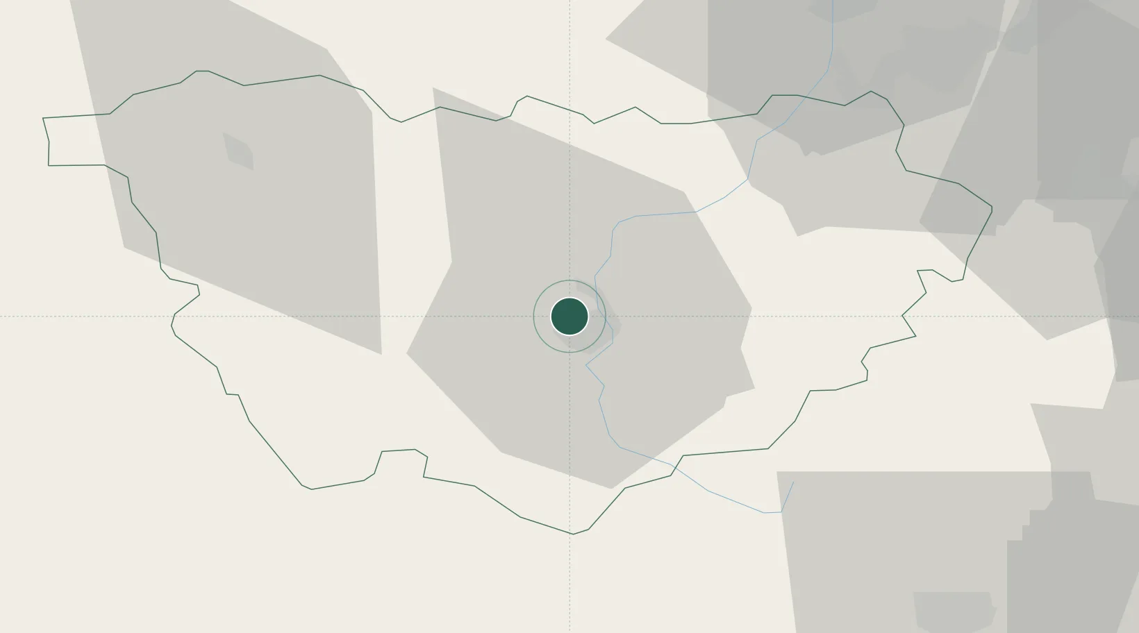
Hub Profile
Place type
Populated place
Region
Rhône-Alpes
Population
2,761
Time zone
Europe/Paris
Elevation
751 m
Location
Nearby Logistics Neighbours
Cities
- 1Le Puy-en-Velay4 km
- 2Lantriac15 km
- 3Céaux-d'Allègre15 km
- 4Vernassal16 km
- 5Retournac20 km
Ports
- 1Sete186 km
- 2Fos201 km
- 3Port Saint Louis Du Rhone202 km
- 4Port-de-Bouc206 km
- 5Marseille228 km
Airports
Trade Zones
- 1ZFU Saint-Etienne52 km
- 2ZFU Valence79 km
- 3ZFU Clermont-Ferrand101 km
- 4ZFU Vénissieux104 km
- 5ZFU Lyon 9e108 km
DatabookThe Record of Consolidated Knowledge
France beyond logistics?