Transport Functions
Multimodal
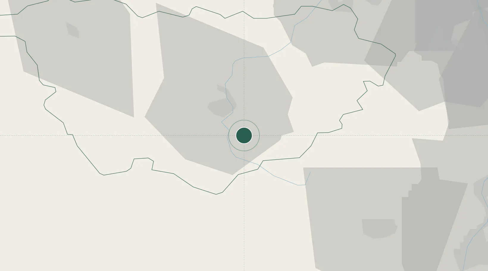
Hub Profile
Place type
Populated place
Region
Rhône-Alpes
Population
1,680
Time zone
Europe/Paris
Elevation
737 m
Location
Nearby Logistics Neighbours
Cities
- 1Le Puy-en-Velay11 km
- 2Polignac15 km
- 3Fontanes24 km
- 4Monistrol-d'Allier26 km
- 5Langogne28 km
Ports
- 1Sete174 km
- 2Fos186 km
- 3Port Saint Louis Du Rhone187 km
- 4Port-de-Bouc191 km
- 5Marseille213 km
Airports
Trade Zones
- 1ZFU Saint-Etienne59 km
- 2ZFU Valence69 km
- 3ZFU Vénissieux108 km
- 4ZFU Lyon 9e113 km
- 5ZFU Clermont-Ferrand116 km
DatabookThe Record of Consolidated Knowledge
France beyond logistics?