Medium airport · France
Saint-Étienne-Bouthéon AirportLFMH
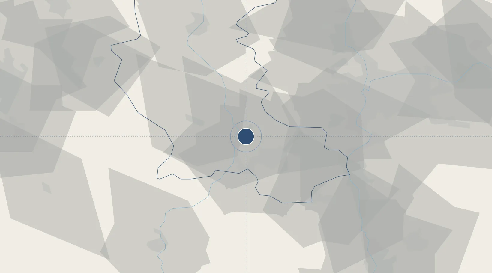
45.5406°, 4.2964°
7,546 ft
Longest runway
1
Runways
1,325 ft
Elevation
Runway & Layout

Radio Frequencies
ATIS
132.8 MHz
SAINT ETIENNE ATIS
TWR
118.65 MHz
SAINT ETIENNE TWR
APP
118.65 MHz
SAINT ETIENNE APP
Runways · 1
| Runway | Dimensions | Surface | True heading | Lit |
|---|---|---|---|---|
| 17/35 | 7,546 × 148ft | Asphalt | 175° | ✓ |
Airport Specifications
IATA code
EBU
ICAO code
LFMH
Airport class
Medium airport
Scheduled service
No
Runway surface
Asphalt
Served city
Andrézieux-Bouthéon, Loire
Location
Nearby Logistics Neighbours
Airports
- 1Lyon Bron Airport55 km
- 2Roanne-Renaison Airport62 km
- 3Lyon Saint-Exupéry Airport65 km
- 4Le Puy-Loudes Airfield66 km
- 5Grenoble Alpes Isère Airport83 km
Cities
- 1Bonson6 km
- 2Lussan7 km
- 3Boisset-lès-Montrond11 km
- 4Le Chambon12 km
- 5Chateaucreux/Saint-Etienne14 km
Ports
- 1Fos241 km
- 2Sete243 km
- 3Port Saint Louis Du Rhone243 km
- 4Port-de-Bouc244 km
- 5Marseille262 km
Trade Zones
- 1ZFU Saint-Etienne13 km
- 2ZFU Vénissieux47 km
- 3ZFU Lyon 9e47 km
- 4ZFU Rillieux-la-Pape54 km
- 5ZFU Vaulx-en-Velin56 km
DatabookThe Record of Consolidated Knowledge
France beyond logistics?