Medium airport · France

Valence-Chabeuil AirportLFLU
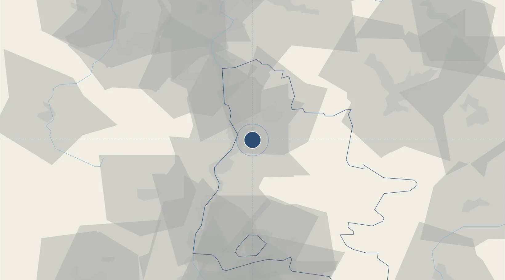
44.9216°, 4.9699°
6,890 ft
Longest runway
3
Runways
525 ft
Elevation

Runway & Layout

Valence-Chabeuil Airport runway & taxiway layout
Runway & taxiway layout — OpenStreetMap (ODbL) / OurAirports

Radio Frequencies

TWR
120.1 MHz
VALENCE TWR
OurAirports

Runways · 3

RunwayDimensions SurfaceTrue headingLit
01/19 6,890 × 148ft Asphalt 007°
01L/19R 3,914 × 164ft GRASS
01R/19L 1,322 × 196ft GRASS
OurAirports

Airport Specifications

IATA code
VAF
OurAirports
ICAO code
LFLU
OurAirports
Airport class
Medium airport
OurAirports
Scheduled service
No
OurAirports
Runway surface
Asphalt
OurAirports
Served city
Chabeuil, Drôme
OurAirports

Location

Location of LFLU
Natural Earth 10m (public domain) · Drôme · LFLU · 44.92, 4.97GoogleOSMYandex

Nearby Logistics Neighbours

Airports
  1. 1Grenoble Alpes Isère Airport57 km
  2. 2Aubenas-South Ardèche Airport63 km
  3. 3Saint-Étienne-Bouthéon Airport87 km
  4. 4Orange-Caritat (BA 115) Air Base87 km
  5. 5Lyon Bron Airport90 km
Nearest neighbours — logibook spatial index (haversine) over the source coordinates
Cities
  1. 1Chabeuil6 km
  2. 2Beaumont-lès-Valence6 km
  3. 3Montvendre7 km
  4. 4Bourg-lès-Valence8 km
  5. 5Guilherand-Granges8 km
Nearest neighbours — logibook spatial index (haversine) over the source coordinates
Ports
  1. 1Fos168 km
  2. 2Port-de-Bouc169 km
  3. 3Port Saint Louis Du Rhone172 km
  4. 4Marseille181 km
  5. 5Sete197 km
Nearest neighbours — logibook spatial index (haversine) over the source coordinates
Trade Zones
  1. 1ZFU Valence10 km
  2. 2ZFU Grenoble63 km
  3. 3ZFU Saint-Etienne77 km
  4. 4ZFU Vénissieux87 km
  5. 5ZFU Lyon 9e96 km
Nearest neighbours — logibook spatial index (haversine) over the source coordinates
DatabookThe Record of Consolidated Knowledge
France beyond logistics?
Browse databook

All Sources

AirportsOurAirports
Public domain
Portsthe NGA World Port Index
Public domain (US gov)
LocationsUN/LOCODE
UN/LOCODE — free
Trade Zonesthe World Bank SEZ database
CC BY 4.0
Trade ZonesOpen Zone Map
CC BY
InfrastructureOpenStreetMap
ODbL 1.0
← France airports