Medium airport · France

Aubenas-South Ardèche AirportLFHO
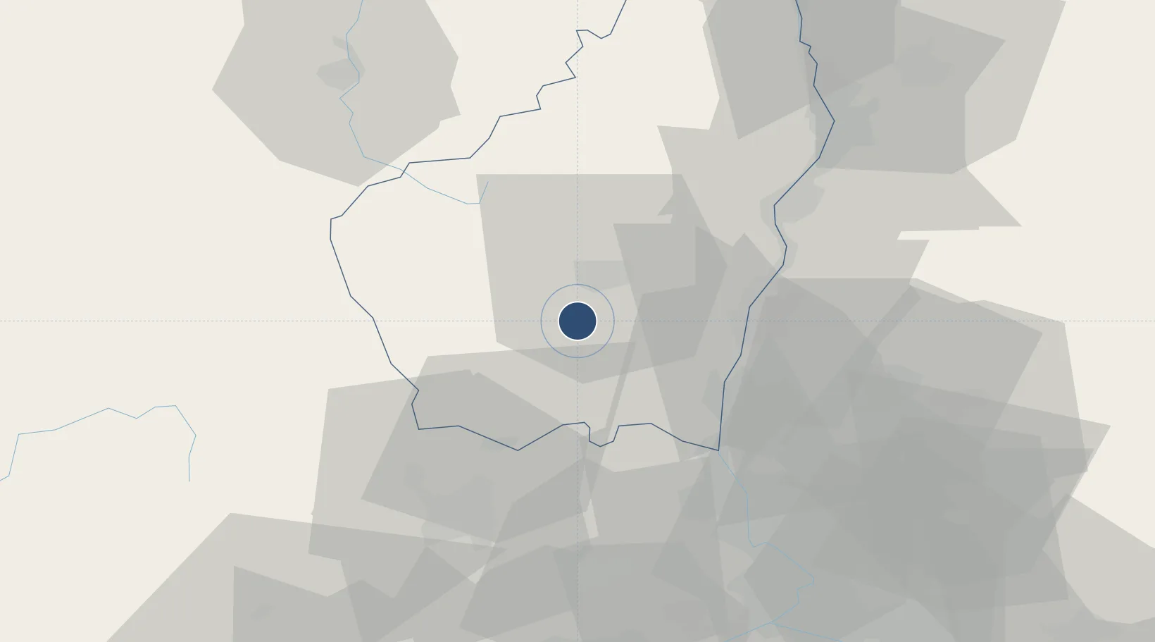
44.5444°, 4.3722°
4,675 ft
Longest runway
1
Runways
923 ft
Elevation

Runway & Layout

Aubenas-South Ardèche Airport runway & taxiway layout
Runway & taxiway layout — OpenStreetMap (ODbL) / OurAirports

Radio Frequencies

A/A
119.85 MHz
réservé aux AFCT munis de radio
Orange French AF
118.92 MHz
zone R 55
OurAirports

Runways · 1

RunwayDimensions SurfaceTrue headingLit
18/36 4,675 × 98ft Paved 184°
OurAirports

Airport Specifications

IATA code
OBS
OurAirports
ICAO code
LFHO
OurAirports
Airport class
Medium airport
OurAirports
Scheduled service
No
OurAirports
Runway surface
Paved
OurAirports
Served city
Lanas, Ardèche
OurAirports

Location

Location of LFHO
Natural Earth 10m (public domain) · Ardèche · LFHO · 44.54, 4.37GoogleOSMYandex

Nearby Logistics Neighbours

Airports
  1. 1Aérodrome d'Alès Cévennes56 km
  2. 2Orange-Caritat (BA 115) Air Base60 km
  3. 3Valence-Chabeuil Airport63 km
  4. 4Mende-Brenoux Airfield67 km
  5. 5Le Puy-Loudes Airfield77 km
Nearest neighbours — logibook spatial index (haversine) over the source coordinates
Cities
  1. 1Vinezac5 km
  2. 2Lavilledieu8 km
  3. 3Vesseaux9 km
  4. 4Rosières10 km
  5. 5Vals-les-Bains12 km
Nearest neighbours — logibook spatial index (haversine) over the source coordinates
Ports
  1. 1Fos132 km
  2. 2Port Saint Louis Du Rhone134 km
  3. 3Port-de-Bouc136 km
  4. 4Sete138 km
  5. 5Marseille158 km
Nearest neighbours — logibook spatial index (haversine) over the source coordinates
Trade Zones
  1. 1ZFU Valence56 km
  2. 2ZFU Avignon75 km
  3. 3ZFU Nîmes80 km
  4. 4ZFU Saint-Etienne98 km
  5. 5ZFU Montpellier113 km
Nearest neighbours — logibook spatial index (haversine) over the source coordinates
DatabookThe Record of Consolidated Knowledge
France beyond logistics?
Browse databook

All Sources

AirportsOurAirports
Public domain
Portsthe NGA World Port Index
Public domain (US gov)
LocationsUN/LOCODE
UN/LOCODE — free
Trade Zonesthe World Bank SEZ database
CC BY 4.0
Trade ZonesOpen Zone Map
CC BY
InfrastructureOpenStreetMap
ODbL 1.0
← France airports